

Geospatial-Information Science and Remote Sensing
Geospatial-Information Science and Remote Sensing
Collecting and interpreting geospatial data is central to everything we do as geographers, whether on computers or in the field.
From local events to multi-scale processes, our faculty are developing and applying advanced remote sensing capabilities and GI Science that will help us to develop the next generation of GI technologies and understanding of the world’s geography.
Our strengths include advanced computer modeling, scientific and geographic visualization, sensor calibration and design, image processing, geocomputing, spatial statistics, and semantic learning.

De Floriani, Leila
Profile Image

First Name
Leila
Last Name
De Floriani
Email
deflo@umd.edu
Dubayah, Ralph
Profile Image
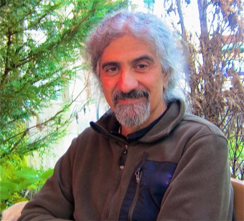
First Name
Ralph
Last Name
Dubayah
Email
dubayah@umd.edu
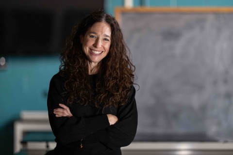
Hansen, Matthew C.
Profile Image
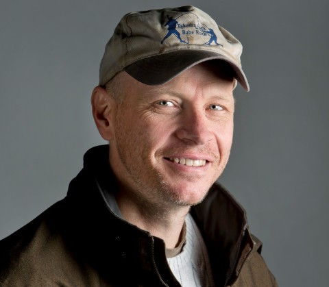
First Name
Matthew C.
Last Name
Hansen
Email
mhansen@umd.edu

Justice, Chris
Profile Image

First Name
Chris
Last Name
Justice
Email
cjustice@umd.edu
Loboda, Tatiana V.
Profile Image
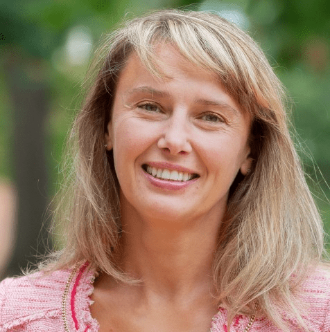
First Name
Tatiana V.
Last Name
Loboda
Email
loboda@umd.edu
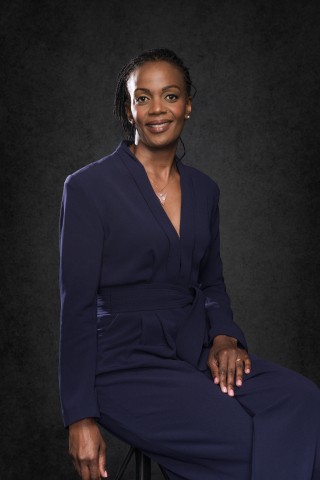
Nakalembe, Catherine
Profile Image
First Name
Catherine
Last Name
Nakalembe
Email
cnakalem@umd.edu

Skakun, Sergii
Profile Image

First Name
Sergii
Last Name
Skakun
Email
skakun@umd.edu
Song, Xiaopeng
Profile Image

First Name
Xiaopeng
Last Name
Song
Email
xpsong@umd.edu
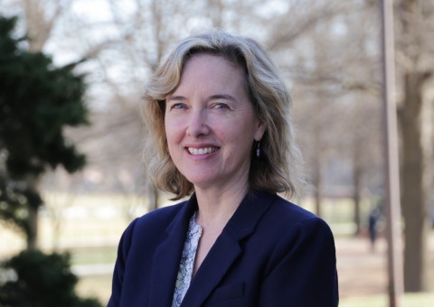
Stewart, Kathleen
Profile Image
First Name
Kathleen
Last Name
Stewart
Email
stewartk@umd.edu

