
GEOG Experts Join Maryland Leaders at Scientists Serving Communities Climate Workshop
Faculty panels and student research highlight the role of geospatial science in building climate resilience.
University of Maryland researchers from the Department of Geographical Sciences participated in the 2026 Scientists Serving Communities (SSC) workshop, an annual forum hosted by the Climate Resilience Network that connects university experts with Maryland community leaders and decision makers.
Held on Jan. 20 and 21 at the Adele H. Stamp Student Union, the free workshop gave state and local stakeholders an opportunity to shape research priorities, communicate community needs directly to scientists and explore how emerging research can support climate resilience efforts across Maryland.
Department faculty spoked in a panel on Maryland Agriculture and Changing Environmental Conditions, moderated by Kara Mobley, senior faculty specialist. Panelists included Michael Humber, associate research professor, along with state and university partners. The session examined the impacts of flooding on Maryland agriculture, including crop damage and soil erosion, and discussed adaptation strategies to help protect long-term agricultural productivity.
Geographical sciences faculty also contributed to a session on Decision Support Tools, which highlighted research-based tools designed to support climate-resilient decision-making. Michael Humber and Kara Mobley joined colleagues from the Earth System Science Interdisciplinary Center, the Climate Resilience Network and the U.S. Geological Survey to discuss the Maryland Climate Impact Dashboard. Developed with stakeholder input, the dashboard provides insights into the effects of climate change on agriculture and related environmental conditions across the state.
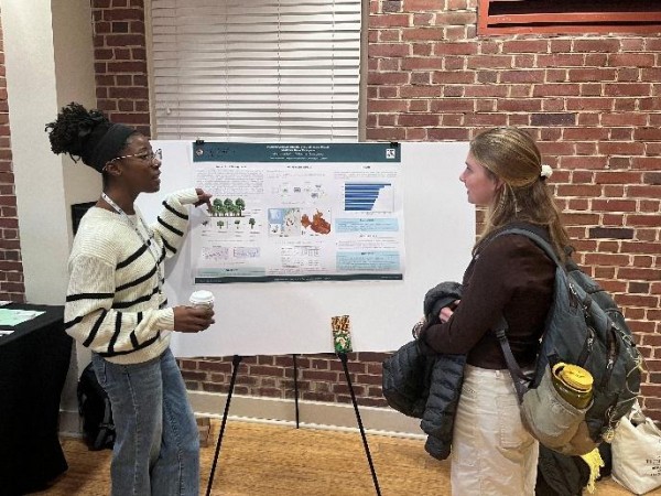
In addition to faculty-led sessions, the department was represented in the poster session by Monica Adjei, a recent master’s graduate in geographical sciences and faculty specialist at UMD's XylemLab, led by Assistant Professor Catherine Nakalembe. Adjei presented her capstone research on classifying cacao agroforestry systems in Madagascar using Sentinel-1, Sentinel-2, LiDAR and ground-truth data. During the session, she engaged attendees in discussions about the challenges of identifying cacao-growing regions and the broader applications of remote sensing to support smallholder farmers.
Image: Faculty specialist Monica Adjei explains her capstone poster to an atendee at the 2026 Scientists Serving Communities (SSC) workshop. Photo credit: Katherine Suzanne Cooney
Read more about the SCC Workshop
Published on Mon, 02/02/2026 - 11:12