
Forests of the Future
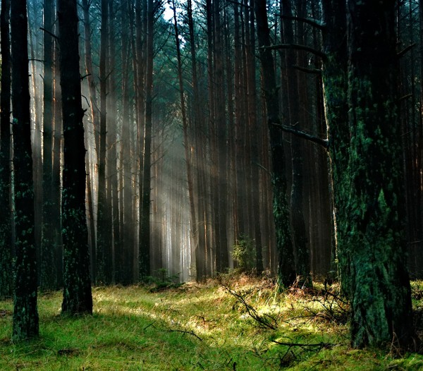
Geographical Sciences researchers develop new system to map MD forests’ potential to store carbon in the future
A University of Maryland-led team of scientists developed a new system that can map both current forest carbon stocks and future forest carbon storage potential—a tool already influencing climate policy at the state level.
With funding from NASA’s Carbon Monitoring System, researchers combined high-resolution tree measurements gathered by laser-equipped aircraft, optical remote sensing imagery, and data collected at ground level to initialize an advanced computer model to map forest carbon across the state.
Researchers validated model estimates for current conditions within Maryland forests by comparing them with prior empirically based estimates. They then were able to use the model to project future forest carbon storage potential. Their results, published recently in Environmental Research Letters, concluded that Maryland forests are currently storing only about one-third the amount of carbon they could be.
“Because forests have the potential to store a large amount of carbon, and have many added benefits, their management is paramount for effective climate mitigation efforts,” said George Hurtt, a professor of geographical sciences who leads the research team. “However, planning efforts to date involving forest carbon have been limited in part by lack of sufficient high resolution monitoring and modeling methods. The prototype we developed operates at roughly 100,000 times the resolution of global models, making it possible to now quantify both forest carbon stock and future carbon sequestration potential locally and over large policy relevant areas.”
Last fall, Maryland officially adopted the system created by Hurtt and colleagues to support the state’s Greenhouse Gas Emissions Reduction Act, which requires a 40% cut in carbon emissions by 2030.
“Working with Professor Hurtt’s team and having access to this high resolution data set allows Maryland to set the standard of how best to incorporate natural lands into greenhouse gas reduction plans,” said Elliot Campbell, Director of the Center for Economic and Social Science at the Maryland Department of Natural Resources. “This is particularly crucial as we formulate our ‘40 by 30’ plan, allowing us to accurately assess the greenhouse gas benefits we can expect when we plant forests, and conversely, the potential cost of losing forest cover in terms of emitted carbon.”
Hurtt and colleagues are now working on extending their system to 10 other Mid-Atlantic and Northeastern states including those that participate in the Regional Greenhouse Gas Initiative, a regional cooperative effort to cap and reduce carbon dioxide emissions from the power sector.
Eventually, the researchers hope to provide forest monitoring and modeling services on a global scale using data from the recently launched Global Ecosystem Dynamics Investigation, a laser mounted on the International Space Station that will measure forests around the world—a project created and led by UMD Geographical Sciences Professor Ralph Dubayah, also a co-author of the present study.
UMD contributors to this study included faculty Hurtt and Dubayah as well as Maosheng Zhao, Ritvik Sahajpal, Amanda Armstrong, Katelyn Dolan, Justin Fisk, Steve Flanagan, Chengquan Huang, Anu Swatantran, Hao Tang, and graduate students Rachel Lamb, Lei Ma, and Donal O’Leary. Additional contributors were from the NASA Goddard Space Flight Center, United States Forest Service, University of Vermont, and the Maryland Department of Natural Resources.
*This article was originally published by the College of Behavioral & Social Sciences
Published on Fri, 04/12/2019 - 11:51