

Webinar Explores High-Resolution Forest Carbon Monitoring to Help States and Local Governments
Learn how GEOG research is helping state and local governments track forest carbon, guide land management and advance climate mitigation goals.
Geospatial analysis enables governments to map forest carbon stocks, monitor changes over time and identify opportunities for future carbon sequestration. Initially developed for Maryland, the University of Maryland's forest carbon monitoring and modeling products are now available in several U.S. states, with broader national and global coverage in development.
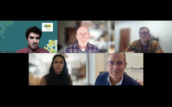
Hosted by ICLEI USA and the University of Maryland on Oct. 23, the webinar features Professor George Hurtt, project lead at UMD, along with experts from the Woodwell Climate Research Center, the Maryland Department of Natural Resources and the Rhode Island Department of Environmental Management.
Read more about the webinar on ICLEI USA or watch it:
Published on Tue, 10/27/2026 - 13:16