
GEOG Faculty Tapped to Fight Climate Change with Artificial Intelligence
In collaboration with the University of Pittsburgh, GEOG faculty will develop novel AI techniques to improve global forest monitoring.
Forest ecosystems store vast amounts of carbon, making them crucial in the fight to stabilize the Earth’s climate. However, deforestation and the effects of climate change could push the Earth toward “tipping points” that lead to rapid global warming, highlighting the urgent need for enhanced monitoring of carbon in forests as well as new methods to enhance forests’ abilities to absorb carbon.
Researchers at the University of Maryland and the University of Pittsburgh have been awarded $750,000 from the National Science Foundation's (NSF) new program on Collaborations on Artificial Intelligence and Geosciences (CAIG) to address this challenge by combining remote sensing data, modeling and artificial intelligence.
The team’s project, titled "Toward Next-Generation Global Forest Carbon Monitoring via Integrated Sensing, Modeling, and AI to Advance Carbon Cycle Science," brings together Principal Investigator (PI) Yiqun Xie, an assistant professor in geospatial information science at the Department of Geographical Sciences, and his colleagues Professor George Hurtt and Assistant Research Professor Lei Ma, who are also Co-PIs of the project.

“By developing novel AI techniques to tackle challenges facing ecosystem models and remote sensing, the project seeks to lay a solid technological foundation for monitoring forest carbon dynamics at the global scale, advancing the understanding of the carbon cycle in the Earth system, “ said Xie. “AI techniques, such as deep learning models, provide a data-driven way of solving problems that are less well-understood in theory.”
Remote sensing and physical-based models have greatly matured in their ability to monitor and predict the movement of carbon between a forest ecosystem and the atmosphere. However, the use of these data is incomplete and the models are imperfect. AI models offer new possibilities to fill this gap by harnessing larger volumes of remote sensing data and increasing the speed, resolution and capability of physical models.
The project will address the computational demands of complex ecosystem models. “The forecasting quality of ecosystem models has been significantly improved over the past decades,” Ma noted. “But the increasing complexity of modeling has led to very expensive computation, especially for high-resolution applications that are more relevant to stakeholders. AI offers exciting opportunities for us to substantially improve the scalability of the models by orders of magnitude.”
In light of these advancements, Hurtt emphasized how using AI with extensive remote sensing data could also further improve ecosystem modeling. “By integrating vast observations from multiple remote sensing sources, including the UMD-led GEDI mission, innovations in AI could also help us generate new hypotheses to further improve ecosystem modeling,” he said. “We are glad to see that our previous efforts have come a long way, with recent applications in the state of Maryland to the Global Carbon Budget and the new US Greenhouse Gas Center. Now we are excited about the new possibilities enabled by AI to push these advances further.”
"By developing novel AI techniques to tackle challenges facing ecosystem models and remote sensing, the project seeks to lay a solid technological foundation for monitoring forest carbon dynamics at the global scale ... "
Assistant Professor Yiqun Xie
The UMD-led research is one of 25 projects selected to share in over $20 million in funding from NSF’s CAIG program. The program aims to inspire innovations in AI to tackle key challenges in geosciences and increase scientific understanding in the Earth systems. "All 25 of the CAIG projects will foster transdisciplinary partnerships that lead to innovation in both AI and geosciences," said Wendy Graham, director of the NSF Division of Research, Innovation, Synergies, and Education. “These projects will significantly enhance our capacity to study extreme weather, solar activity and earthquake hazards, among other critical topics.”
The CAIG program aligns with key technology areas outlined in the "CHIPS and Science Act of 2022," promoting advancements in AI, cyberinfrastructure and computing. Other topics include improving forecasting, preparation and mitigation for natural hazards; enhancing understanding of earthquake dynamics; improving natural resource management and decision-making in response to climate change; and elucidating the drivers of physical and biological processes of oceans.
Many projects, including the UMD-UPitt project, also align with the interagency National AI Research Resource Pilot by making AI resources more accessible and providing education and training for geoscientists at all career stages. The project will also contribute to the NSF National Discovery Cloud for Climate initiative, a pilot effort to build an integrated national-scale cyberInfrastructure capable of supporting end-to-end climate research and education.
Additionally, the team is working with Xiaowei Jia, an assistant professor in the Department of Computer Science from the University of Pittsburgh, in collaboration with Carlos Souza from the research institute Imazon, Brazil.
More about the NSF-CAIG awardees
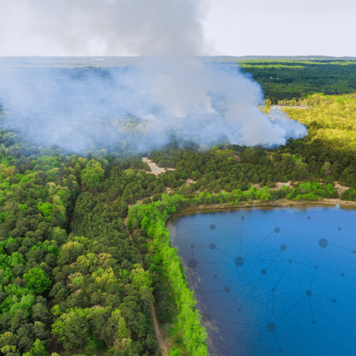
Image: Heavy smoke rises from a forest fire near a pond, superimposed by network lines. Collage credit: Canva
Published on Sun, 09/29/2024 - 15:39