UMD College of Behavorial & Social Sciences UMD College of Behavorial & Social Sciences
MENU

Topbar Menu

  • About Us
  • People
  • Alumni and Giving
  • Diversity
  • Undergraduate
    • Prospective Students
    • Courses & Facilities
    • Advising
    • Special Programs
    • Graduation
    • Geography Club
  • Graduate
    • Prospective Ph.D. Students
    • Graduate Courses
    • Graduate Student Publications
    • Graduate Student Awards
    • Graduate Students
    • Master of Science and Graduate Certificate Programs
    • Combined BS/MS Program
  • Research
    • Research Areas
      • Geospatial-Information Science and Remote Sensing
      • Human Dimensions of Global Change
      • Land Cover and Land Use Change
      • Carbon, Vegetation Dynamics and Landscape-Scale Processes
    • Centers
      • Center for Geospatial Information Science
      • International Center for Innovation in Geospatial Analytics & Earth Observation
  • High School Hub
    • Program Overview
    • High School Awards
    • High School Internship Program
    • GIS Day
  • Resources
    • Graduate Student Organization
    • Student Life
    • Graduate School
    • Responsible Conduct of Research
    • Emergency Preparedness
    • Job Opportunities
    • Graduation
Search

Main navigation

  • Undergraduate
    • Prospective Students
    • Courses & Facilities
    • Advising
    • Special Programs
    • Graduation
    • Geography Club
  • Graduate
    • Prospective Ph.D. Students
    • Graduate Courses
    • Graduate Student Publications
    • Graduate Student Awards
    • Graduate Students
    • Master of Science and Graduate Certificate Programs
    • Combined BS/MS Program
  • Research
    • Research Areas
      • Geospatial-Information Science and Remote Sensing
      • Human Dimensions of Global Change
      • Land Cover and Land Use Change
      • Carbon, Vegetation Dynamics and Landscape-Scale Processes
    • Centers
      • Center for Geospatial Information Science
      • International Center for Innovation in Geospatial Analytics & Earth Observation
  • High School Hub
    • Program Overview
    • High School Awards
    • High School Internship Program
    • GIS Day
  • Resources
    • Graduate Student Organization
    • Student Life
    • Graduate School
    • Responsible Conduct of Research
    • Emergency Preparedness
    • Job Opportunities
    • Graduation
  • About Us
  • People
  • Alumni and History
  • Diversity

Search our site:

Dr. Humber Leads Research Teams Receiving the Rapid Response & Novel Research in Earth Science Grant and an AWS Grant

Breadcrumb

  • Home
  • Featured Content
  • Dr. Humber Leads Research Teams Receiving The Rapid Response & Novel Research In Earth Science Grant and An AWS Grant
Earth

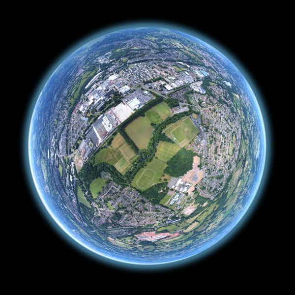
In efforts led by GEOG Assistant Research Professor Dr. Mike Humber, the NASA Harvest Consortium and several of its partners recently received two separate grant awards to support furthering remote sensing and Earth observation research for improved agricultural monitoring and decision-support.

The first award comes from NASA's "Rapid Response and Novel Research in Earth Sciences" solicitation which called for novel research projects that can immediately respond to unforeseen events in the Earth system, including the COVID-19 pandemic. The team includes international partners from multi-sector institutions such as AMIS and its Steering Committee member organizations, including the International Grain Council, the World Trade Organization, OECD, IFPRI, FAO, and the World Food Program (WFP). The group of experts plans to develop a geospatial platform that analyzes diverse supply chain information and assesses relevant food supply data sets in order to provide easily-accessible information for policy makers around the world.

The second source of grant funding for a separate project, again spear-headed by Dr. Humber, was awarded by the "GEO-Amazon Earth Observation Cloud Credits Programme." This collaborative grant program provides Amazon Web Services (AWS) cloud computing credits for projects that support environmental and sustainable development goals (ie. the Sendai Framework for Disaster Risk Reduction, the Paris Agreement, and the United Nations 2030 Agenda for Sustainable Development). This research team is also comprised of a wide variety of partners across the NASA Harvest Consortium and University of Maryland Department of Geographical Sciences, including: Dr. Inbal Becker-Reshef, Dr. Catherine Nakalembe, Dr. Hannah Kerner, Estefania Puricelli, John Keniston, Antonio Sanchez-Galvez, as well as several NASA Harvest national collaborators. This project will focus on GEO implementation of Sen2Agri in the AWS cloud to generate several national cropland and crop type maps in support of the work of the NASA Harvest Consortium, based out of the Department of Geographical Sciences, and its partner organizations.

Published on Fri, 06/26/2020 - 11:47

College of Behavorial & Social Sciences
  • Facebook
  • Twitter
  • Instagram
  • YouTube
  • LinkedIn
  • Zenfolio

Department of Geographical Sciences

2181 Samuel J. LeFrak Hall, 7251 Preinkert Drive,
University of Maryland, College Park, MD 20742
Phone: 301-405-4050

Join Our Newsletter

Contact Us

Links
  • UMD Land Acknowledgement
  • UMD Staff Directory
  • Give to GEOG
  • UMD Web Accessibility
  • Alumni
© 2025 College of Behavorial & Social Sciences. All Rights Reserved.
Login