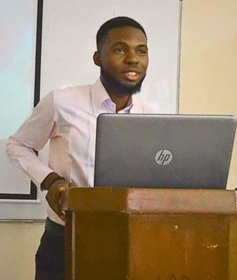
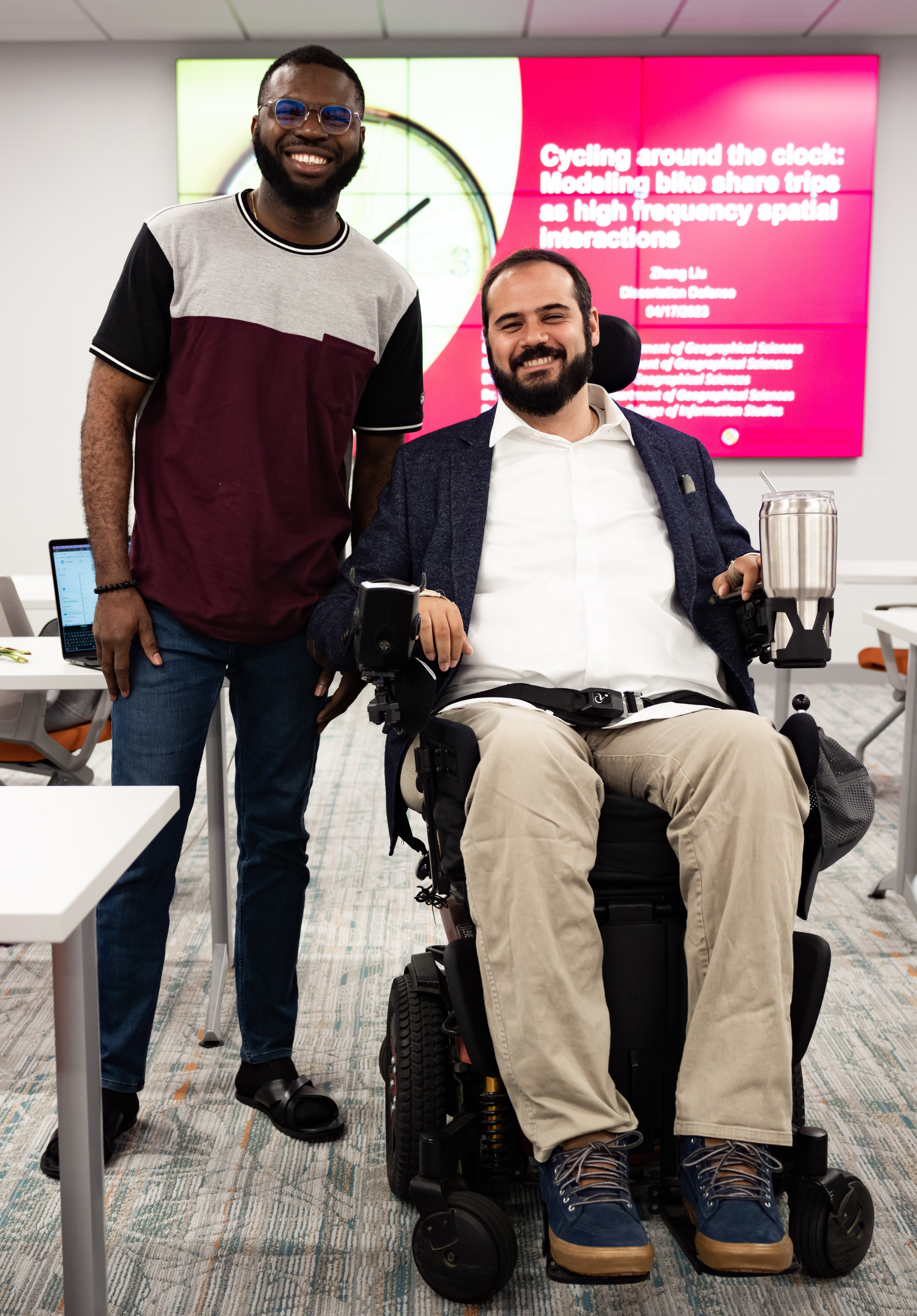
Victor Irekponor, Ph.D Student
Student Q&A: Victor Irekponor
From a childhood fascination with geography to researching smarter cities, Ph.D. student Victor Irekponor shares his journey as a researcher blending urban planning and data science.
Discover how Victor's experiences and passion for technology are driving new insights in urban informatics and spatial data science.
How did studying Urban Planning at the University of Lagos shape your career path?
Studying Urban Planning at the University of Lagos (UNILAG) had a huge impact on my career path. I’ve always been drawn to geography—it started back in secondary school with my fascination for places, maps and even capitals. I was that kid who could name over 200 countries and their capitals, flags included, thanks to hours spent on Microsoft Encarta.
When it came time to choose a university and a career path at 16, I’ll admit I was a bit lost. That’s when my dad, who was at the time pursuing his master’s in urban planning at UNILAG, introduced me to the program. He explained what urban planning was all about, and it sounded so fascinating—not to mention UNILAG was (and still is) one of the top universities in Nigeria. So, I went for it and got into the Department of Urban and Regional Planning (DURP). At UNILAG, I was exposed to so much more than I expected.
It wasn’t just about theory; we got to see how planning shapes communities and impacts lives. That’s when I realized urban planning is such a multidisciplinary field, and planners wear so many hats—designer, problem-solver, even mediator.
By the time I graduated, I knew I wanted to pursue graduate studies and become a thought leader in smart cities and the built environment.
What inspired you to pursue research in urban informatics and spatial data science?

At the end of my third year, I attended a data science bootcamp, and honestly, it was a game-changer. It was my first real introduction to big data, the fourth industrial revolution, and the idea that “data is the new oil.” During that bootcamp, I realized how these concepts could be applied to shaping smarter, more sustainable cities. That moment really clicked for me, and I knew I wanted to dive deeper.
Not long after, I secured an internship with an Artificial Intelligence tech company, where I got hands-on experience training deep learning models. I not only sharpened my programming and data science skills, but also got a solid foundation in software engineering. That experience made me even more confident about bridging the gap between the built environment and cutting-edge tech.
By the time I graduated, I was convinced that I wanted to further my studies in urban informatics and use my technical skills to bridge the gap between data and cities. After all, cities generate an incredible amount of data, most of which has a spatial or time component. That realization made me eager to dive deeper in geospatial data science–not just to develop new methods for analyzing this data, but also to better understand the underlying processes that shape our built environment. By doing so, I hope to ask and answer the critical questions needed to drive the creation of smarter, more sustainable cities. That’s what ultimately led me to pursue research in this area and brought me to UMD, where I found the perfect fit with my advisor and research group.
Can you explain your research and give an example of what you are finding?

My research centers around developing spatial data science methods and tools to better understand the underlying processes that shape our built environments. More specifically, I am interested in spatially varying coefficient models. These models extend traditional regression models by allowing the coefficient of covariates to vary across different spatial locations, making them a valuable tool in analyzing spatial heterogeneity.
One of the studies in my research examines the Modifiable Areal Unit Problem (MAUP), which arises when data is aggregated into a larger spatial unit, potentially introducing biases and uncertainties. This issue is particularly relevant in today’s data-rich world, where we work with diverse datasets from sources like sensors, geolocated social media posts, satellite imagery and municipal records.
These datasets often come at different spatial resolutions, and combining them for analysis creates a change-of-support problem. A common approach to addressing this is to aggregate all the data to the support of the target variable, but this can introduce MAUP-related biases.
For this study, I am developing a method that aligns these datasets on a common spatial support directly within the model, reducing bias and uncertainty caused by aggregation. I am applying the method to study inner-ring suburban gentrification in Maryland. Gentrification studies often use census tracts as the spatial unit for analysis, but many important indicators–like housing prices, education levels, income and points of interest data– are available at differing spatial supports. Aggregating these indicators risks introducing MAUP-related bias.
By using my method, I aim to better capture the spatial heterogeneity of the processes driving gentrification, providing a more accurate and nuanced understanding of how it unfolds in inner-ring suburbs.
What role do you see technology playing in making cities smarter and better for people?
Technology, particularly data science, plays a crucial role in transforming cities into smarter, more inclusive spaces. By leveraging advanced technologies like machine learning, geospatial analytics and big data platforms, we can process and analyze vast amounts of urban data from sensors, social media and public records. These tools allow us to uncover meaningful patterns and trends, enabling the creation of data-driven plans that address critical challenges in cities like transportation, housing and resource allocation. With the power of technology, we can design solutions that are efficient and inclusive, ensuring cities work better for everyone.
Can you share your advice to international students interested in pursuing a Ph.D at GEOG?
My advice is to thoroughly research the department and reach out to potential advisors whose research aligns with your interests. Once in the program, build connections with peers and faculty–they’re supportive and can help you navigate the challenges of being an international student. Make the most of GEOG’s interdisciplinary opportunities and embrace both academic and cultural experiences to enrich your journey.
All images courtesy of Victor Irekponor


