Master of Science in Geospatial Information Sciences
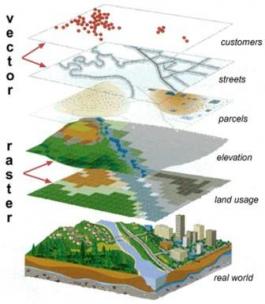
The Master of Science and Graduate Certificate in Geospatial Information Sciences Program is dedicated to providing the most up-to-date training on geospatial technology, theory and applications. The courses cover spatial analysis, remote sensing, spatial statistics, modeling, programming, spatial databases, and Internet GIS.


