Research
Research Areas
Geospatial-Information Science and Remote Sensing
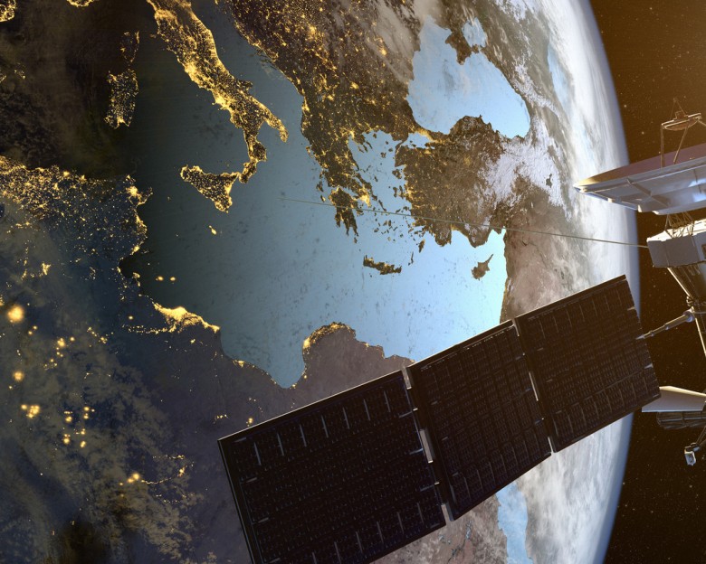
Collecting and interpreting geospatial data is central to everything we do as geographers, whether on computers or in the field. From local events to multi-scale processes, our faculty are developing and applying advanced remote sensing capabilities and GI Science that will help us to develop the next generation of GI technologies and understanding of the world’s geography. Our strengths include advanced computer modeling, scientific and geographic visualization, sensor calibration and design, image processing, geocomputing, spatial statistics, and semantic learning.
Geospatial-Information Science and Remote Sensing
Human Dimensions of Global Change - Coupled Human and Natural Systems
The Department’s ultimate research goal is to advance an integrated understanding of the coupled Earth system including spatially distributed human processes. Our research addresses both fundamental and applied issues in coupled human and natural systems, such as population, socio-economic development, consumption and production, poverty, climate impacts and adaptation, vulnerability and mitigation, as well as the examination of policy options and trade-offs on sustainability. Our scientists investigate both the human socio-economic system and the climate system, and their linkages.
Human Dimensions of Global Change - Coupled Human and Natural Systems
Land Cover - Land Use Change
Land cover and land-use change is a key interface between human and natural systems. Our scientists are world leaders in the remote sensing of land-cover changes. This information is actively combined with human socio-economic data to study past land cover and land use change and to inform advanced modeling of spatially-explicit future scenarios. These methods are actively being used to simultaneously address social, economic, carbon, climate, biodiversity and other aspects of land-use changes. We develop agricultural monitoring systems and look at societal impacts, adaptions and vulnerability to fire, droughts, floods, desertification, and other catastrophic events.
Carbon, Vegetation Dynamics and Landscape-Scale Processes
The department carries out a broad array of research focused on monitoring vegetation dynamics, with a particular focus on mapping and studying human and natural disturbances and their landscape-scale impacts, as well as changes to the earth surface as a result of climate variability. This research involves integration of field-based research with remotely-sensed observations to address key scientific uncertainties. Alterations to the global carbon cycle are changing atmospheric composition and climate with implications for human well-being and a particular focus of our research is on monitoring and modeling the terrestrial carbon cycle with unprecedented sophistication and resolution.
Centers

The Center for Geospatial Information Science (CGIS) is focused on enriching the undergraduate and graduate student education and research experience through a mixture of research and education.

We are an international consortium of leaders in earth observation and geoinformatics dedicated to advancing knowledge of our changing planet. We pursue interdisciplinary research and development, spanning mission design to launch, encompassing instrument and algorithm development, advanced geospatial data analysis, and data assimilation and prediction, to develop applications in earth system science for societal benefit. We innovate in cutting-edge techniques designed to monitor and model Earth’s environment through global collaboration and excellence in both research and teaching.

