

Tiago de Conto
Bio
I am a remote sensing scientist who uses lidar and machine learning to study the structure of the world’s forests, from single trees to the globe. I lead Machine Learning & Data Analytics for NASA’s Global Ecosystem Dynamics Investigation (GEDI) mission. My research relies heavily on software development, big data workflows and agentic AI engineering, so if you’re excited about technology, we have a lot to talk about.
My work spans lidar and forests at every scale, from terrestrial scans of individual trees to spaceborne observations of the entire globe. A central focus is forest structural complexity: I developed the Waveform Structural Complexity Index (WSCI) and the GEDI L4C products. These include a fusion product that uses deep learning to combine GEDI with Sentinel-1 and ALOS-2 radar data, producing wall-to-wall, quarterly maps of 3D forest structure at 25 m resolution.
I also build tools that make large lidar datasets easier to use, such as gedih3, which indexes GEDI footprints on H3 hexagons for scalable analysis. I earned my Ph.D. in Geographical Sciences at UMD, working with Dr. Ralph Dubayah. Feel free to reach out about collaborations, data or code.
Degrees
Ph.D. in Geographical Sciences, University of Maryland
M.Sc. in Sustainable Forest and Nature Management (Erasmus Mundus - SUFONAMA)
B.Sc. in Forest Engineering (UFRRJ - Brazil)
Areas of Interest
- Lidar remote sensing (terrestrial, airborne, spaceborne)
- Forest structural complexity
- Data fusion and deep learning
- Large-scale geospatial computing
Research Topics
- Carbon, Vegetation Dynamics and Landscape-Scale Processes
- Geospatial Information Science and Remote Sensing
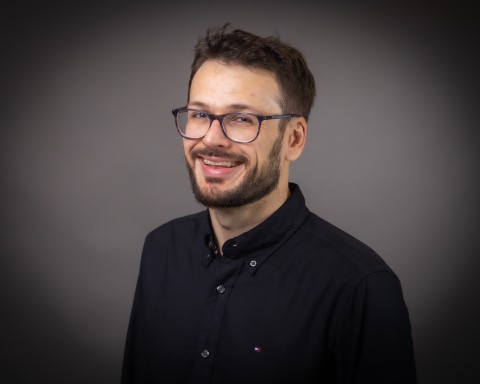
Tiago de Conto
Assistant Research Professor
| 4600 River Road, Suite 355
| tiagodc@umd.edu
Accepting New Students No
Media Availability Yes