

What Counts as Woody Cover? UMD Study Reveals Challenges in Mapping Dryland Vegetation
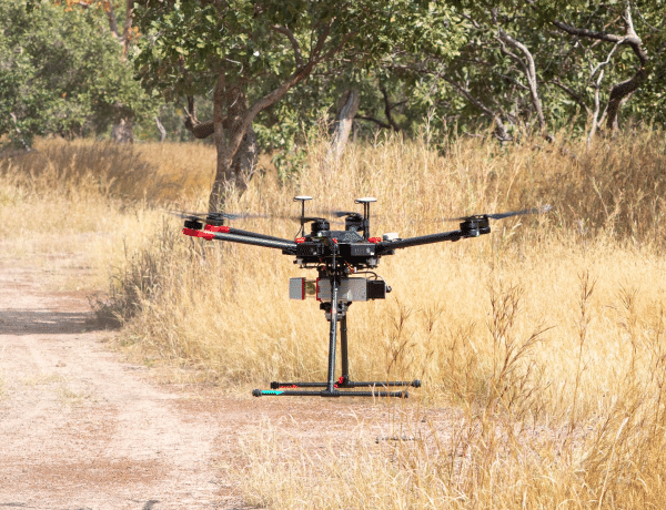
Field measurements in Senegal show why clear definitions are essential for interpreting satellite maps of trees and shrubs.
Maps of trees and shrubs help researchers monitor ecosystems and guide land management. But when it comes to dryland vegetation, different maps may not be capturing the same thing.
Trees and shrubs play particularly important roles in drylands, storing carbon, providing wildlife habitat and supporting local livelihoods. Yet these landscapes often feature a mixture of grasses, shrubs and scattered trees of varying heights and densities, making woody vegetation difficult to define and map consistently.
A new study published in Science of Remote Sensing, led by Xinyuan Li, a postdoctoral researcher in the Department of Geographical Sciences (GEOG), examines this challenge in Senegal. The country spans a range of ecosystems, from sparse Sahelian shrublands in the north to Sudanian woodlands and denser vegetation in the south, as well as coastal mangroves. This diversity makes Senegal a valuable setting for examining how different maps represent woody vegetation in dryland ecosystems.
The research team, which included collaborators from GEOG and Senegal’s Centre de Suivi Ecologique, compared three large-scale woody cover maps and evaluated their accuracy using drone-based lidar measurements. The technology captures vegetation structure in three dimensions, providing detailed information about the height and distribution of trees and shrubs.
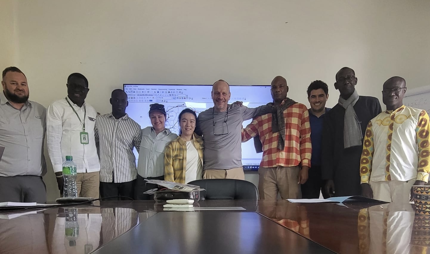
From left to right: Jeffrey Pickering (GEOG), Cheikh Mbow (Centre de Suivi Ecologique, Senegal), Cheikh Mame Mor Mbodji (Centre de Suivi Ecologique, Senegal), Katherine Melocik (NASA Goddard Space Flight Center), Xinyuan Li (GEOG), Matthew Hansen (GEOG), Moussa Diaw (Centre de Suivi Ecologique, Senegal), Andres Hernandez-Serna (GEOG), Amadou Moctar Dieye (Centre de Suivi Ecologique, Senegal), and Babacar Ndao (Centre de Suivi Ecologique, Senegal). Courtesy of Xinyuan Li
The maps showed substantial disagreement. Areas classified as woody cover by all three accounted for just 2.8% of Senegal's total land area. Comparisons with lidar measurements also revealed that each map most closely matched a different definition of woody vegetation, based on varying thresholds for plant height and cover.
The findings underscore the need to clearly define woody areas based on canopy height and cover. These definitions would help researchers and land managers better understand what different maps represent and determine which are best suited to applications such as carbon accounting, ecosystem monitoring and restoration planning.
Paper: Li, X., Hansen, M., Potapov, P., Tyukavina, A., Mbow, C., Dieye, A. M., Diouf, A. A., Poulson, A., Hernandez-Serna, A., Pickering, J., Ndao, B., Mbodji, C. M. M., & Melocik, K. (2026). What constitutes woody cover? Physiognomic-structural characterizations vary between woody cover maps in dryland ecosystems. Science of Remote Sensing, 13, Article 100533. https://doi.org/10.1016/j.srs.2026.100533
This article was written by Xinyuan Li with the assistance of artificial intelligence and edited by Renata Johnson.
Image of drone by Xinyuan Li
Published on Thu, 11/19/2026 - 12:35