
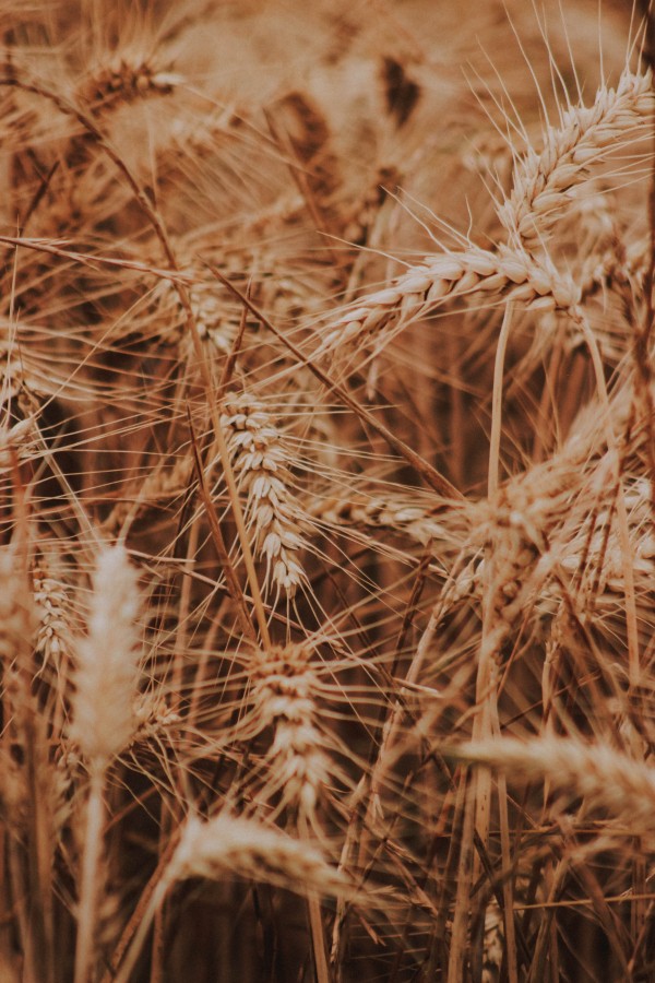
UMD Researchers Evaluate China Food Security Via Satellite Imagery
Study Utilizes Remote Sensing-Based Models of Plant Productivity to Measure Reliability of Grain Production Statistics in China
Rapid economic growth, geopolitical turmoil, trade tensions, a global pandemic and widespread flooding are all contributing to concerns about China’s ability to feed its population of 1.4 billion. New research from the UMD Department of Geographical Sciences and Beijing Normal University is helping to gauge the severity of the problem and validate information reported by China.
In a study published September 21 in the Proceedings of the National Academy of Sciences, researchers assessed grain production in China by combining satellite-based monitoring of land cover with observations and models of physical factors such as the amount of solar radiation, air and water that affect nature’s ability to produce plants.
“Official statistics from China showing an annual increase in grain production have been under scrutiny due to questions about technical difficulties and potential political manipulation,” said Giovanni Baiocchi, associate professor of geographical sciences and affiliate faculty in economics at UMD, and a lead author on the PNAS paper. “Our goal was to detect discrepancies between what’s being reported and what is physically plausible given nature’s capacity with the range of monitoring and modeling tools we have available to us.”
Baiocchi and colleagues discovered some evidence of potential misreporting problems at lower levels of administration, such as in cities and provinces, which can affect national crop production totals. Researchers hope their innovative approach will serve as a model for how remote sensing can help validate economic data around the world.
“Using remote sensing-based tools to estimate biological crop yield is likely to become a keystone of agriculture in the future,” Baiocchi said. “I feel fortunate to be working in a department leading the field in this type of novel, relevant and interdisciplinary research.”
This research is part of an ongoing cooperation and scholar exchange program between UMD and Beijing Normal University (BNU) going back to 2005, with a focus on remote sensing technology and Earth observation. Baiocchi and Laixiang Sun, also from UMD geographical sciences, are leading the human geography component of this cooperative effort that has resulted a number of influential publications on environmental sustainability.
Published on Wed, 10/07/2020 - 11:47