UMD College of Behavorial & Social Sciences UMD College of Behavorial & Social Sciences
MENU

Topbar Menu

  • About Us
  • People
  • Alumni and Giving
  • Diversity
  • Undergraduate
    • Prospective Students
    • Courses & Facilities
    • Advising
    • Special Programs
    • Graduation
    • Geography Club
  • Graduate
    • Prospective Ph.D. Students
    • Graduate Courses
    • Graduate Student Publications
    • Graduate Student Awards
    • Graduate Students
    • Master of Science and Graduate Certificate Programs
    • Combined BS/MS Program
  • Research
    • Research Areas
      • Geospatial-Information Science and Remote Sensing
      • Human Dimensions of Global Change
      • Land Cover and Land Use Change
      • Carbon, Vegetation Dynamics and Landscape-Scale Processes
    • Centers
      • Center for Geospatial Information Science
      • International Center for Innovation in Geospatial Analytics & Earth Observation
  • High School Hub
    • Program Overview
    • High School Awards
    • High School Internship Program
    • GIS Day
  • Resources
    • Graduate Student Organization
    • Student Life
    • Graduate School
    • Responsible Conduct of Research
    • Emergency Preparedness
    • Job Opportunities
    • Graduation
Search

Main navigation

  • Undergraduate
    • Prospective Students
    • Courses & Facilities
    • Advising
    • Special Programs
    • Graduation
    • Geography Club
  • Graduate
    • Prospective Ph.D. Students
    • Graduate Courses
    • Graduate Student Publications
    • Graduate Student Awards
    • Graduate Students
    • Master of Science and Graduate Certificate Programs
    • Combined BS/MS Program
  • Research
    • Research Areas
      • Geospatial-Information Science and Remote Sensing
      • Human Dimensions of Global Change
      • Land Cover and Land Use Change
      • Carbon, Vegetation Dynamics and Landscape-Scale Processes
    • Centers
      • Center for Geospatial Information Science
      • International Center for Innovation in Geospatial Analytics & Earth Observation
  • High School Hub
    • Program Overview
    • High School Awards
    • High School Internship Program
    • GIS Day
  • Resources
    • Graduate Student Organization
    • Student Life
    • Graduate School
    • Responsible Conduct of Research
    • Emergency Preparedness
    • Job Opportunities
    • Graduation
  • About Us
  • People
  • Alumni and History
  • Diversity

Search our site:

NASA Harvest Emerging Technologies Workshop

Breadcrumb

  • Home
  • Featured Content
  • NASA Harvest Emerging Technologies Workshop
group photo

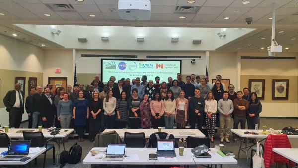
The NASA Harvest Emerging Technologies Workshop was held on February 25th-27th, 2020 at the National Agricultural Library in Beltsville, MD. The meeting was co-sponsored by NASA Harvest, USDA and Agriculture and Agri-Food Canada and was held in the framework of the International GEOGLAM Program. The purpose of the workshop was to share recent results and advances from the research community relevant to operational agricultural monitoring using Earth Observations (EO) and identify gaps and challenges for the operational user community.  Recognizing that significant advances in EO missions and data use are being made in the private sector, the workshop invited Harvest private sector partners to share their recent developments. The presentations and discussion were aimed at: identifying priority areas for operational R&D activities; enhancing the ‘community research agenda’; identifying applications that are approaching readiness levels suitable for transition to operational application and identifying promising new satellite missions, technologies, data initiatives and applications that would meet operational information needs; and to discuss ideas for future national and international collaboration towards strengthening agricultural monitoring.


group photo


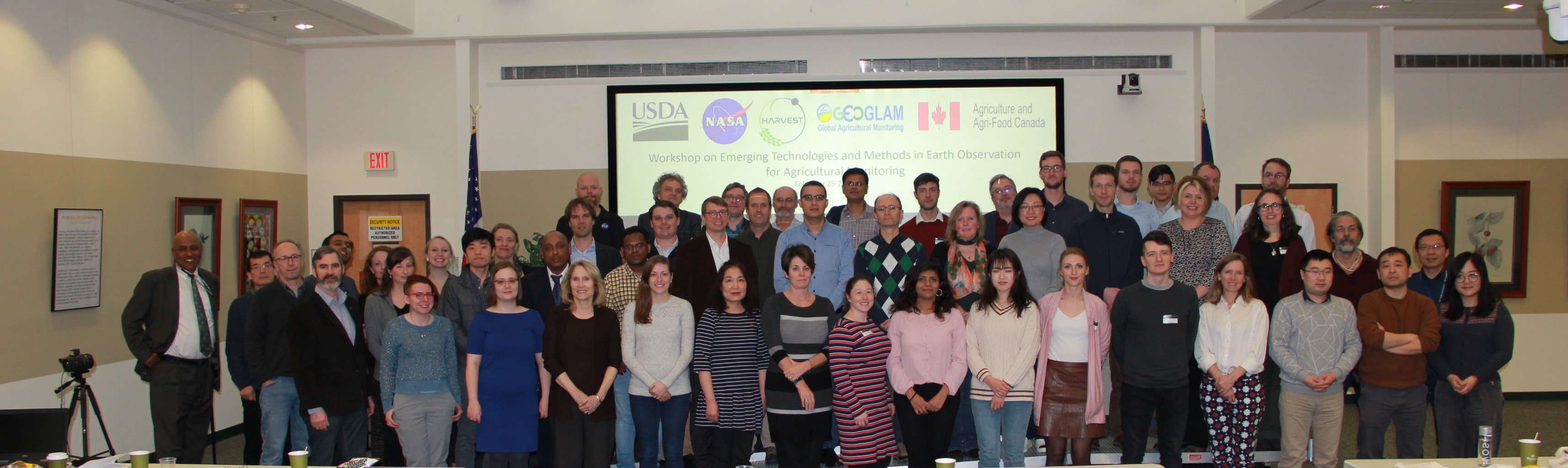
The workshop had 78 participants, including a number of international Harvest partners. Sessions focused on: agency updates and priorities;  improved methods for crop status and yield; fine resolution EO data and methods; data fusion and applications; EO missions; high performance cloud computing; recent developments in soil moisture monitoring; private sector technical innovations; and new contexts for agricultural monitoring. Breakout discussion groups were focused on Cloud Computing, Public Private Partnerships, Soil Moisture and Evapotranspiration, Crop Type and Yield Estimation.

Published on Tue, 03/24/2020 - 14:39

College of Behavorial & Social Sciences
  • Facebook
  • Twitter
  • Instagram
  • YouTube
  • LinkedIn
  • Zenfolio

Department of Geographical Sciences

2181 Samuel J. LeFrak Hall, 7251 Preinkert Drive,
University of Maryland, College Park, MD 20742
Phone: 301-405-4050

Join Our Newsletter

Contact Us

Links
  • UMD Land Acknowledgement
  • UMD Staff Directory
  • Give to GEOG
  • UMD Web Accessibility
  • Alumni
© 2025 College of Behavorial & Social Sciences. All Rights Reserved.
Login