

Meet the Newest Teachers and Researchers in BSOS
The College of Behavioral and Social Sciences is pleased to introduce some of its newest full-time team members, including faculty from the Department of Geographical Sciences.
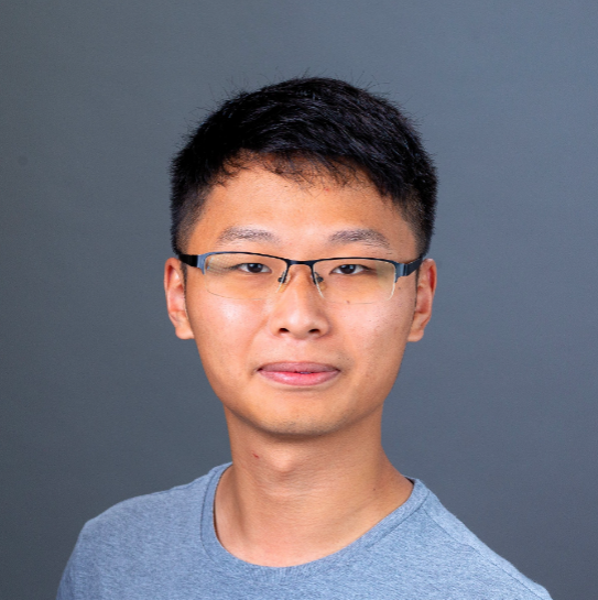
Postdoctoral Associate Xiangjie Chen, GEOG
Xiangjie Chen is a Postdoctoral Associate in the Department of Geographical Sciences. He received his Ph.D. in Geographical Sciences from the University of Maryland in 2025 and holds an M.S. in Applied Economics and a B.S. in Economics. His research asks how the world can achieve sustainable transition without leaving people behind, spanning climate policies for a just transition; sustainable production and consumption; international trade; climate-resilient agriculture; and combining input-output analysis, integrated assessment modeling, and methods for decision-making under uncertainty. Chen’s work has appeared in top journals such as Nature, Nature Climate Change, Nature Sustainability, Environmental Science & Technology, and One Earth, and his study of the decoupling of consumption-based CO₂ emissions from economic growth informed Working Group III of the IPCC Sixth Assessment Report. He has consulted for the International Labour Organization and the Inter-American Development Bank, and worked with the USDA Agricultural Research Service on agricultural resilience under price and weather uncertainty, drawing on agronomy, geography, and economics. Chen received the department’s Excellence in Graduate Research Award, and currently serves on the boards of both the Environmentally Extended Input-Output Section and the Student Chapter of the International Society for Industrial Ecology (ISIE). He also leads ISIE’s Global South Research Initiative. This semester Chen is teaching GEOG 202: Introduction to Human Geography.
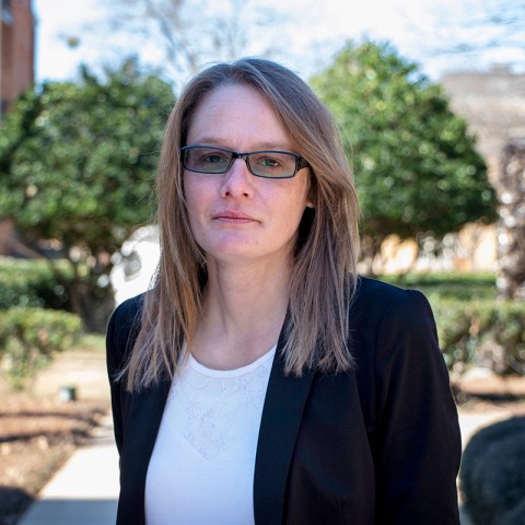
Assistant Research Professor Ashleigh Price, GEOG
Ashleigh Price is a human-environment geographer with a diverse research background focusing broadly on GIS, spatial analysis and statistics, crime geography, and facilities location modeling. In recent research, she has analyzed how different types of hazards and disasters influence spatial and temporal changes in patterns of crime. In her current work at UMD, she researches the spatial, social, and environmental impacts of illicit wildlife trafficking.
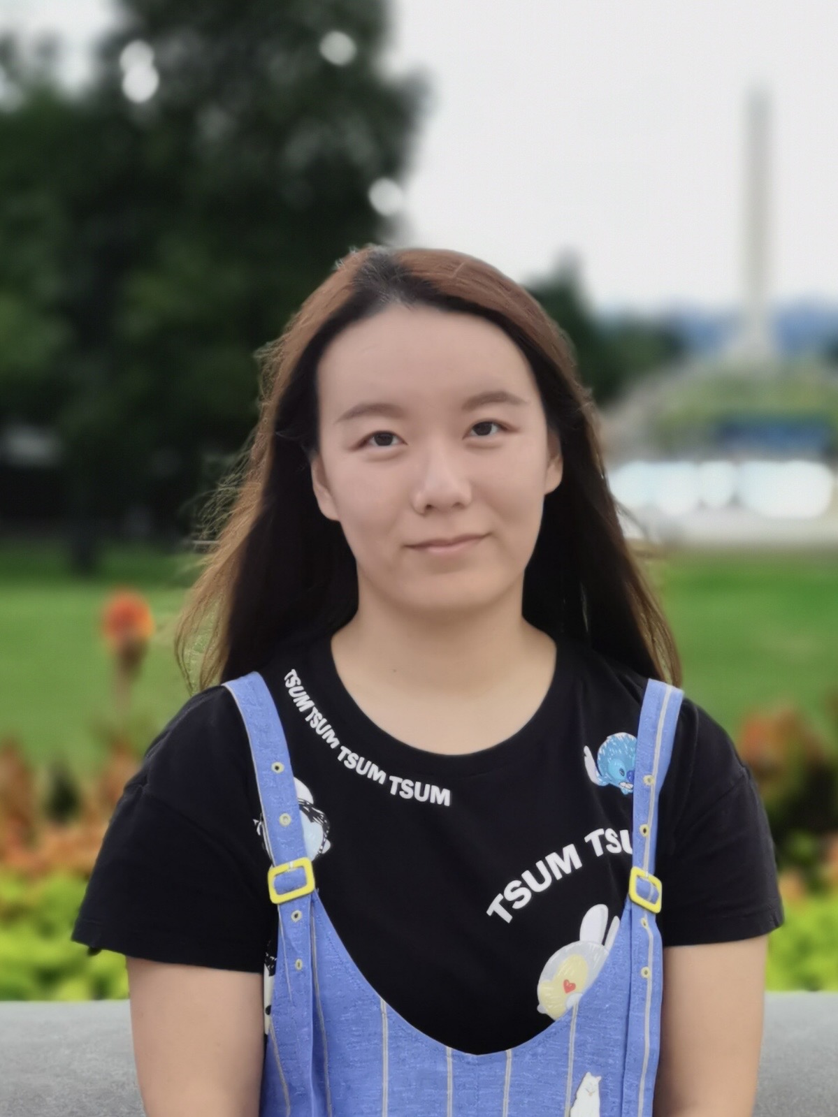
Postdoctoral Associate Xinyuan Li, GEOG
Xinyuan Li is a postdoctoral associate in the Department of Geographical Sciences, where she also earned her Ph.D. She is a geographer whose research uses multi-source remote sensing observations—from airborne and spaceborne platforms—to better understand and monitor changes in land cover and land use, particularly vegetation canopy, around the world. Her dissertation focused on advancing the characterization of vegetation structure in dryland ecosystems by integrating LiDAR, optical, and SAR data. The results of her work support sustainable land management and environmental conservation in a changing climate. She is currently involved in several projects, including a NASA-funded effort to develop near-real-time attribution of land disturbances and a World Bank-funded research to investigate forest carbon dynamics in the Congo Basin.
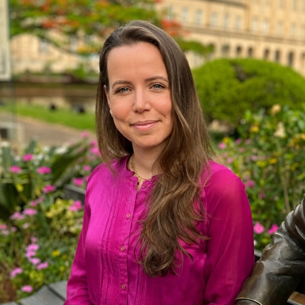
Postdoctoral Associate Bruna Lara De Arantes, GEOG
Bruna Lara De Arantes is a Postdoctoral Associate in the Department of Geographical Sciences at the University of Maryland. She earned her Ph.D. in Forest Resources from the University of São Paulo, Brazil. Her research experience spans urban ecology, spatial analysis, geographic information systems (GIS), spatiotemporal analysis, and urban tree cover. In 2021, Bruna served as a visiting researcher at the USDA Forest Service’s Northern Research Station in Baltimore, Maryland. She is currently a member of the NASA Global Ecosystem Dynamics Investigation (GEDI) Mission Science Team and the LEAF Lab at UMD.
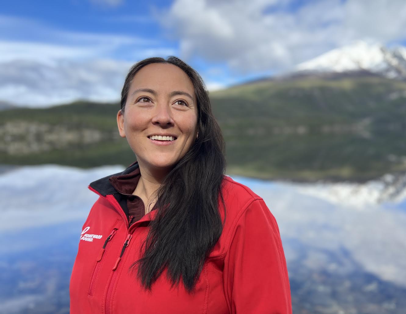
Assistant Research Professor Alison Thieme, GEOG
Alison Thieme is a researcher leading a project with NASA Acres, NASA's consortium that uses Earth observation technology to support domestic food security. Her work focuses on using satellite data to better understand the performance of sustainable agriculture practices, particularly cover cropping and reduced tillage. The performance of various management practices are related to incentive program data to inform adaptive management. Prior to her agricultural research, Thieme focused on wildlife conservation primarily in tropical ecosystems. Thieme served in the U.S. Peace Corps in Madagascar working in both conservation and agriculture to reduce deforestation pressures.
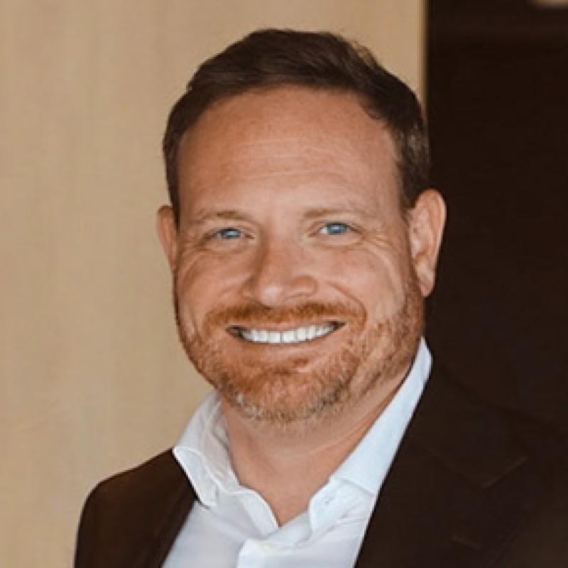
Faculty Specialist Adam Zwerner, GEOG
Adam Zwerner leads communications and outreach for NASA Acres, NASA’s Agriculture Consortium based at the University of Maryland, where he advances the use of NASA Earth observation data in U.S. agriculture through strategic engagement with partners, stakeholders, and media. He brings extensive experience supporting federal agencies, international NGOs, and the private sector, both in the United States and globally. He holds a B.A. in International Affairs from George Washington University.
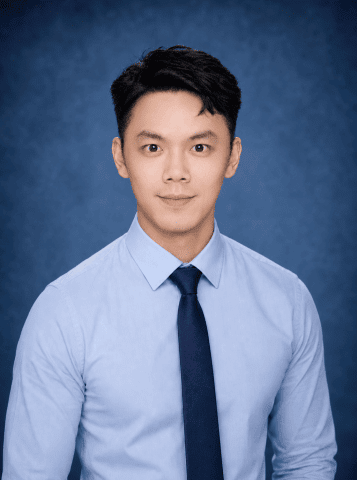
Postdoctoral Associate Yanzhou Xie, GEOG
Yanzhou Xie is a Postdoctoral Associate at the University of Maryland specializing in SAR remote sensing, LiDAR remote sensing, and multi-sensor data fusion for forest structure and biomass mapping. He earned dual Ph.D. degrees from the University of Toulouse and Central South University, where he developed retrieval algorithms for forest structural parameters in support of the European Space Agency’s BIOMASS mission. His current research focuses on integrating GEDI and BIOMASS observations to improve large-scale estimates of forest height and above-ground biomass. As part of NASA’s Carbon Monitoring System (CMS), he also works on pantropical forest structure and biomass mapping using the fusion of GEDI LiDAR and TanDEM-X SAR data. More broadly, his work aims to advance remote sensing methodologies for forest monitoring, carbon-cycle science, and ecosystem characterization through the integration of complementary radar and LiDAR observations.
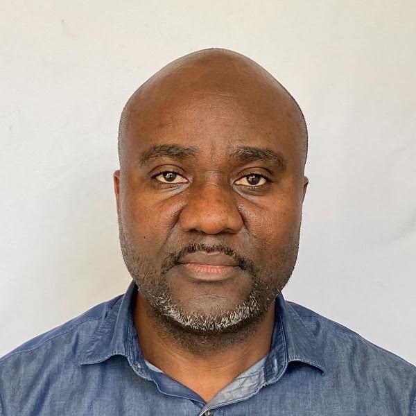
Visiting Senior Faculty Specialist Eddy Bongwele, GEOG
Eddy Bongwele is an agricultural engineer specializing in remote sensing for natural resource management, with over two decades of experience in Geographical Information Systems and geospatial sciences. He worked as a senior remote sensing officer at Observatoire Satellital des Forêts d'Afrique Centrale (OSFAC), and collaborated with the World Wildlife Fund on the “Carbon Map and Model” project, which focuses on quantifying and mapping forest biomass in the Democratic Republic of the Congo. Bongwele holds a Master of Sciences degree in Geospatial Information Sciences. His research focuses on processing and analyzing time-series Landsat multispectral data and high-resolution satellite imagery, with emphasis on quantifying land cover and land use changes, including forest loss and gain, using sample-based methods to support global and regional land cover and land use change research program within the Geographical Sciences Department’s GLAD Laboratory. In 2011, Bongwele was a visiting researcher at Cornell University through the U.S. Department of State’s Hubert Humphrey Fellowship Program, where he studied environmental policy, natural resources, and climate change.
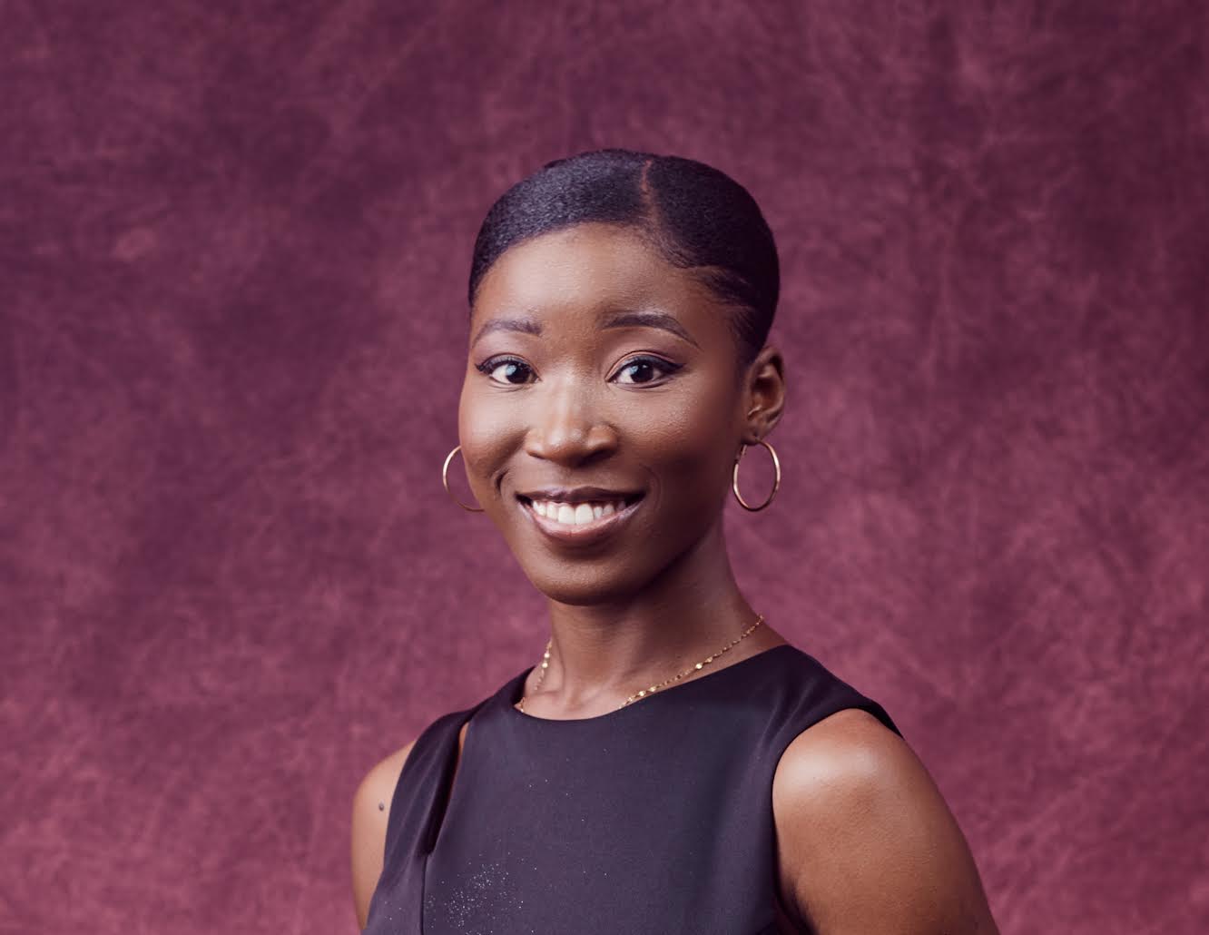
Faculty Specialist Monica Adjei, GEOG
Monica Adjei is a Faculty Specialist at the Xylem Lab, working with GEOG Assistant Professor Catherine Nakalembe. She earned a Master of Science degree in Geospatial Information Science from the University of Maryland in 2025 but has been part of the Xylem Lab since 2024, first as a Teaching Assistant and now as a Faculty Specialist. Broadly, Adjei's research with the lab focuses on data visualization through Geospatial techniques and mapping agroforestry systems. Beyond research, she contributes to outreach, science-communication efforts, and event planning, and, as a first-generation graduate, is committed to broadening access to geospatial science.
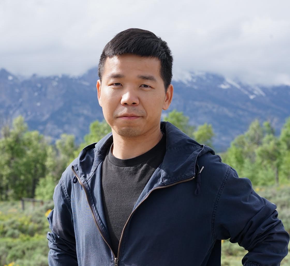
Postdoctoral Associate Haijun Li, GEOG
Haijun Li is a Postdoctoral Associate in the Department of Geographical Sciences at the University of Maryland. He received his Ph.D. in geographical sciences at the University of Maryland in 2026. Prior to pursuing his Ph.D., he worked as a senior software engineer. He earned his B.S. and M.S. degrees in Geographical Information System from Wuhan University, China. His research focuses on monitoring agricultural sustainability using satellite remote sensing and statistical approaches, with interests in large-scale satellite data processing, near-real-time crop type mapping and yield forecasting, long-term monitoring of crop extent and phenology, and the assessment of climate impacts on crop production and agricultural adaptation. He works with Associate Professor Xiao-Peng Song in GEOG and leads a project focused on monitoring energy-related land-cover and land-use change in the southwestern United States.
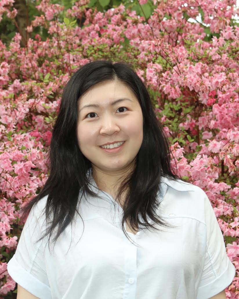
Postdoctoral Associate Quan Shen, GEOG
Quan Shen is a postdoctoral associate in the Department of Geographical Sciences at the University of Maryland. She also earned her Ph.D. from the department, where her dissertation research focused on advancing forest carbon monitoring at high spatial and temporal resolution. Her research integrates remote sensing, ecosystem modeling, and field observations to better understand vegetation carbon stocks and dynamics. Her research interests span forests, trees outside forests, and newly established trees, with an emphasis on improving how these resources are monitored across space and time.
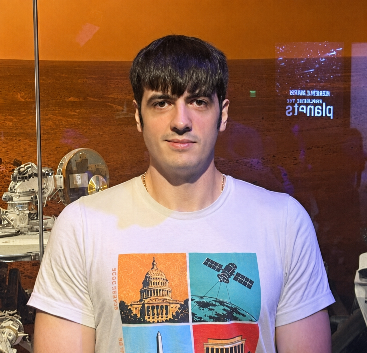
Postdoctoral Associate Leonid Shumilo, GEOG
Leonid Shumilo is a postdoctoral associate in the Department of Geographical Sciences at the University of Maryland. He received his Ph.D. in Geographical Sciences from the University of Maryland in 2025 and his master’s degree in Applied Mathematics from the Physics and Technology Institute at Igor Sikorsky Kyiv Polytechnic Institute in 2021. He is a NASA FINESST Fellow with over 10 years of experience in geosciences and remote sensing.
Leonid’s research focuses on the application of AI models and remote sensing data to agricultural and environmental research, land-cover and land-use change analysis, the impacts of climate change on food systems, and the assessment of the consequences of war for Ukraine’s agricultural landscapes and environment.
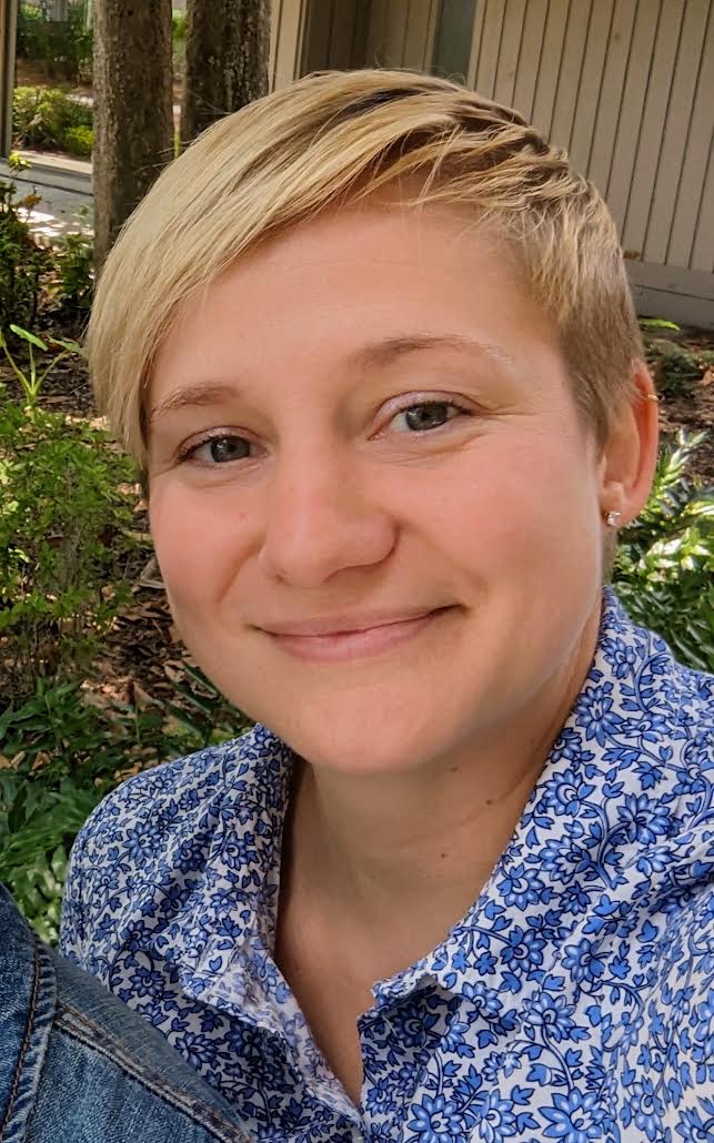
Visiting Associate Research Professor Elizabeth Wiggins, GEOG
Liz Wiggins is a Visiting Associate Research Professor in the Department of Geographical Sciences. Her research focuses on wildfire science, atmospheric composition, and air quality modeling, with an emphasis on translational science that connects Earth observations to operational decision-making. She works at the intersection of satellite remote sensing, airborne and in situ observations, and atmospheric modeling to improve our understanding and prediction of wildfire emissions and smoke impacts.
Prior to joining UMD, Wiggins worked as a research scientist at NASA Langley Research Center. She earned her B.S. in Earth and Atmospheric Science at Georgia Institute of Technology, and a M.S. and Ph.D. in Earth System Science at the University of California, Irvine.
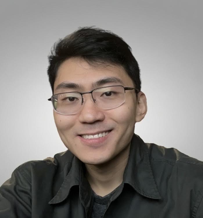
Postdoctoral Associate Sitian Xiong, GEOG
Sitian Xiong is an agricultural remote sensing scientist who uses Earth observations and modern computational approaches to understand and monitor agricultural production systems. During his Ph.D. research at Clark University, Xiong focused on data-scarce, smallholder-dominated regions, using satellite remote sensing and deep learning to map cropland and field boundaries and track agricultural change. At UMD, Xiong will work with the GEOG NASA Harvest team to integrate multi-source remote sensing, crop simulation, and deep learning to improve agricultural monitoring and crop yield forecasting in support of food security decision-making.
This article was written by Rachael Grahame and originally published on the College of Behavioral & Social Sciences' website.
Published on Wed, 09/09/2026 - 15:49