
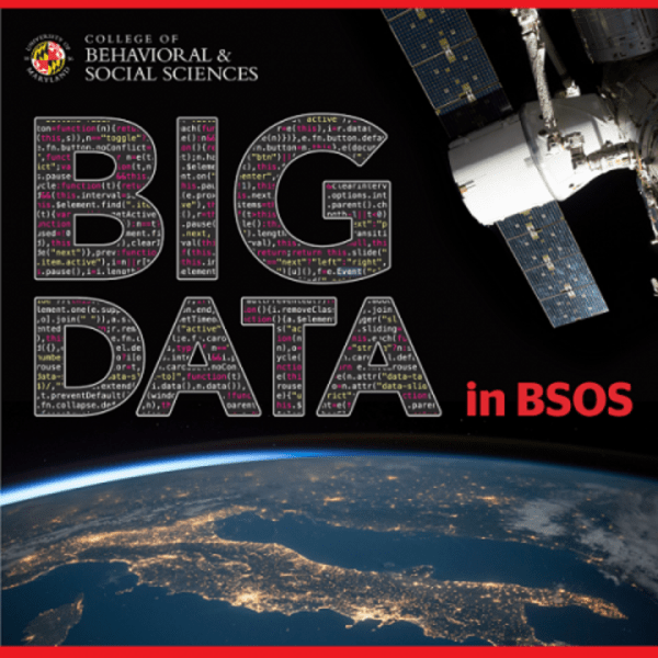
Harnessing Big Data to Preserve the Planet
Systematically monitoring human impacts to the Earth’s land surface requires mastery of a comprehensive set of skills including geography, engineering, mathematics, environmental science and, nowadays, big data.
“If you want to do this work really well, you have to be able to put all of these skills together and then you’re really cooking,” said Matt Hansen, a Professor in the UMD Department of Geographical Sciences and co-director of the university’s Global Land Analysis and Discovery (GLAD) laboratory.
Since 2013, Hansen and his team of “global all-stars,” as he calls them, have been using free satellite data provided by NASA and the U.S. Geological Survey (USGS) to create high-resolution global maps of forest extent, loss and gain. In addition to sending out alerts about changes to the Earth’s forest cover, the scientists work with people from countries around the world to help them understand what’s happening to their forestland and train them to build and interpret their own maps. To date, the team has worked with roughly two dozen countries including Bangladesh, Cambodia, Peru, Brazil, Nepal and the Congo.
“People are really fired up to have this knowledge,” Hansen said. “We’re living in a golden age of data and information.”
Digging into the Data
Doing this work requires accessing, analyzing and archiving massive amounts of data. Currently, the lab stores more than nine petabytes of data—equivalent to 9 million gigabytes. The GLAD system would rank 27th worldwide for its high-performance storage based on 2018 rankings provided by the Virtual Institute for I/O. After a planned upgrade, GLAD’s storage will nearly double to more than 17 petabytes of high-performance storage capacity, potentially bumping it up to 17th worldwide based on the same ranking of similar systems.
“I don’t think most people have any idea that we have this world-class data center right here on campus,” said Chris Justice, Chair of the Department of Geographical Sciences. “The term ‘big data’ is such a buzz word now but Professor Hansen and his colleagues have been doing this work for nearly a decade and have built a system for monitoring the globe that has made Maryland a world leader in this field.”
 Hansen and his team don’t simply sit around staring at satellite imagery. They also travel the world and go out into the field to confirm what the satellite data are telling them. What happened to the thousands of acres of Amazon rainforest in Brazil that seemed to disappear when viewed from space? They’re now flattened and planted with soybeans as far as the eye can see. What about the rainforest in the Republic of Congo that used to serve as cover for chimpanzee habitats? It was cleared to meet the growing worldwide demand for palm oil.
“You get to go out there and see these places that you have pictured in your head and viewed from a great distance from space, but then you’re confirming the scale of it all,” Hansen said. “It’s a great personal confirmation, but it can also be overwhelming.”
Matt Hansen (far right) on a field expedition to the northern Republic of Congo with Sam Jantz (far left), Alexander Krylov (now deceased) and Jacob Noel.
The Long Game
When it comes to a long-term vision for the global monitoring project, Hansen admits it doesn’t sound exciting.
“We’re compiling an accurate description of the destruction of the Earth,” Hansen explained. “We need to know, what is the rate of our rainforest loss? What is the rate of our urbanization? That requires basically doing the same thing over and over and over in an operational mode, something most scientists do not do.”
Of course, Hansen and his colleagues hope their work will provide transparency to what is happening to the world’s forests, inform policy and conservation efforts, and lead to major changes in the way land is managed around the globe. Ultimately, though, the goal is to create a history of use for every patch of ground and to keep a constant, watchful eye on the planet overall.
“To truly save something, you have to keep winning every battle forever,” Hansen said. “You can’t ever stop.”
Published on Thu, 04/05/2018 - 10:37