UMD College of Behavorial & Social Sciences UMD College of Behavorial & Social Sciences
MENU

Topbar Menu

  • About Us
  • People
  • Alumni and Giving
  • Diversity
  • Undergraduate
    • Prospective Students
    • Courses & Facilities
    • Advising
    • Special Programs
    • Graduation
    • Geography Club
  • Graduate
    • Prospective Ph.D. Students
    • Graduate Courses
    • Graduate Student Publications
    • Graduate Student Awards
    • Graduate Students
    • Master of Science and Graduate Certificate Programs
    • Combined BS/MS Program
  • Research
    • Research Areas
      • Geospatial-Information Science and Remote Sensing
      • Human Dimensions of Global Change
      • Land Cover and Land Use Change
      • Carbon, Vegetation Dynamics and Landscape-Scale Processes
    • Centers
      • Center for Geospatial Information Science
      • International Center for Innovation in Geospatial Analytics & Earth Observation
  • High School Hub
    • Program Overview
    • High School Awards
    • High School Internship Program
    • GIS Day
  • Resources
    • Graduate Student Organization
    • Student Life
    • Graduate School
    • Responsible Conduct of Research
    • Emergency Preparedness
    • Job Opportunities
    • Graduation
Search

Main navigation

  • Undergraduate
    • Prospective Students
    • Courses & Facilities
    • Advising
    • Special Programs
    • Graduation
    • Geography Club
  • Graduate
    • Prospective Ph.D. Students
    • Graduate Courses
    • Graduate Student Publications
    • Graduate Student Awards
    • Graduate Students
    • Master of Science and Graduate Certificate Programs
    • Combined BS/MS Program
  • Research
    • Research Areas
      • Geospatial-Information Science and Remote Sensing
      • Human Dimensions of Global Change
      • Land Cover and Land Use Change
      • Carbon, Vegetation Dynamics and Landscape-Scale Processes
    • Centers
      • Center for Geospatial Information Science
      • International Center for Innovation in Geospatial Analytics & Earth Observation
  • High School Hub
    • Program Overview
    • High School Awards
    • High School Internship Program
    • GIS Day
  • Resources
    • Graduate Student Organization
    • Student Life
    • Graduate School
    • Responsible Conduct of Research
    • Emergency Preparedness
    • Job Opportunities
    • Graduation
  • About Us
  • People
  • Alumni and History
  • Diversity

Search our site:

GEOG Researchers Lead International Protocol on Forest Biomass

Breadcrumb

  • Home
  • Featured Content
  • GEOG Researchers Lead International Protocol On Forest Biomass
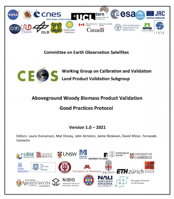
CEOS logo page

This week, a new international protocol for woody biomass product validation was published, led by Geographical Sciences Assistant Professor Laura Duncanson, Associate Research Professor John Armston, and Professor Mat Disney at University College London. On Tuesday, March 23rd this protocol was endorsed by the Committee on Earth Observation Satellites (CEOS), including NASA, ESA, JAXA, DLR, CNES, CONAE, ISRO, NOAA, INPE, CSA, USGS and several other space agencies. Drs. Duncanson and Armston have been working toward this effort since 2017 as co-leads of the CEOS Working Group on Calibration and Validation’s Land Product Validation biomass focus area, roles they filled because of their activities on NASA’s GEDI Science Team (PI Professor Ralph Dubayah). Their effort in protocol development was supported by NASA’s Terrestrial Ecology program. 

The protocol was developed to address a critical need for inter-comparison and validation of global forest biomass products. Forest biomass has been recognized as a Global Climate Observing System (GCOS) Essential Climate Variable (ECV), an input to the United Nations’ (UN) Reducing Emissions from Deforestation and Forest Degradation-plus (REDD+) program, as inputs reporting toward the UN’s Sustainable Development Goals (SDGs), and an input to Earth system models. Spatially continuous maps of forest biomass are therefore important inputs for decreasing the uncertainties in the global carbon cycle, underpinning forest management and climate mitigation strategies, and global carbon cycle science. 

The protocol provides guidance for biomass map producers toward good practices for estimating and reporting uncertainties in their products, and informs users how to interpret products and conduct independent validation. The goal of this protocol is to facilitate consistent and transparent biomass product uncertainty estimation so that products can be used effectively for science, forest management and policy applications.

The publication of the CEOS biomass protocol represents an exciting step in international collaboration for the biomass remote sensing community, and includes 56 co-authors from 41 institutions. Leadership of this document by the Department of Geographical Sciences reflects the strong decades-long Departmental expertise in remote sensing of vegetation structure and biomass. 

Link to document: 

https://lpvs.gsfc.nasa.gov/PDF/CEOS_WGCV_LPV_Biomass_Protocol_2021_V1.0.pdf

Published on Fri, 03/26/2021 - 16:09

College of Behavorial & Social Sciences
  • Facebook
  • Twitter
  • Instagram
  • YouTube
  • LinkedIn
  • Zenfolio

Department of Geographical Sciences

2181 Samuel J. LeFrak Hall, 7251 Preinkert Drive,
University of Maryland, College Park, MD 20742
Phone: 301-405-4050

Join Our Newsletter

Contact Us

Links
  • UMD Land Acknowledgement
  • UMD Staff Directory
  • Give to GEOG
  • UMD Web Accessibility
  • Alumni
© 2025 College of Behavorial & Social Sciences. All Rights Reserved.
Login