
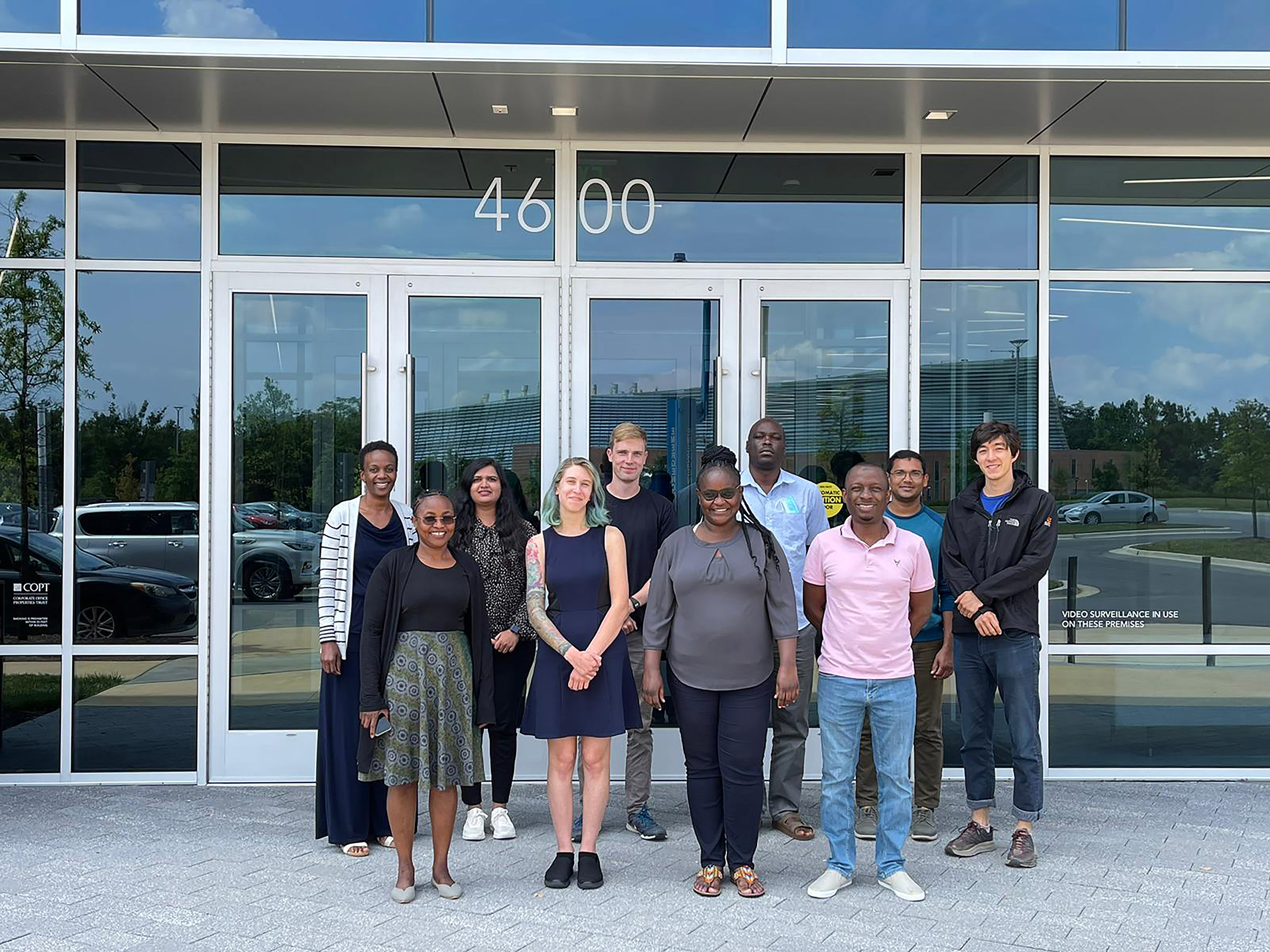
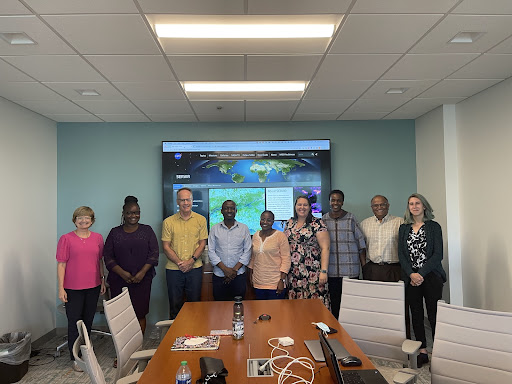
GEOG Faculty Host NASA SERVIR Eastern Africa Hub Training
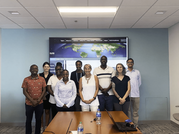
Members of the NASA SERVIR Eastern Africa Hub from Nairobi, Kenya and the SERVIR Science Coordination Team from Huntsville, Alabama spent two weeks with GEOG Faculty and NASA Harvest team members training as part of a concluding NASA SERVIR Applied Science Team Project. The training was hosted by GEOG's Dr. Catherine Nakalembe, Dr. Ritvik Sahajpal, Dr. Hannah Kerner, Ivan Zvonkov, Gabriel Tseng and Taryn Devereux.
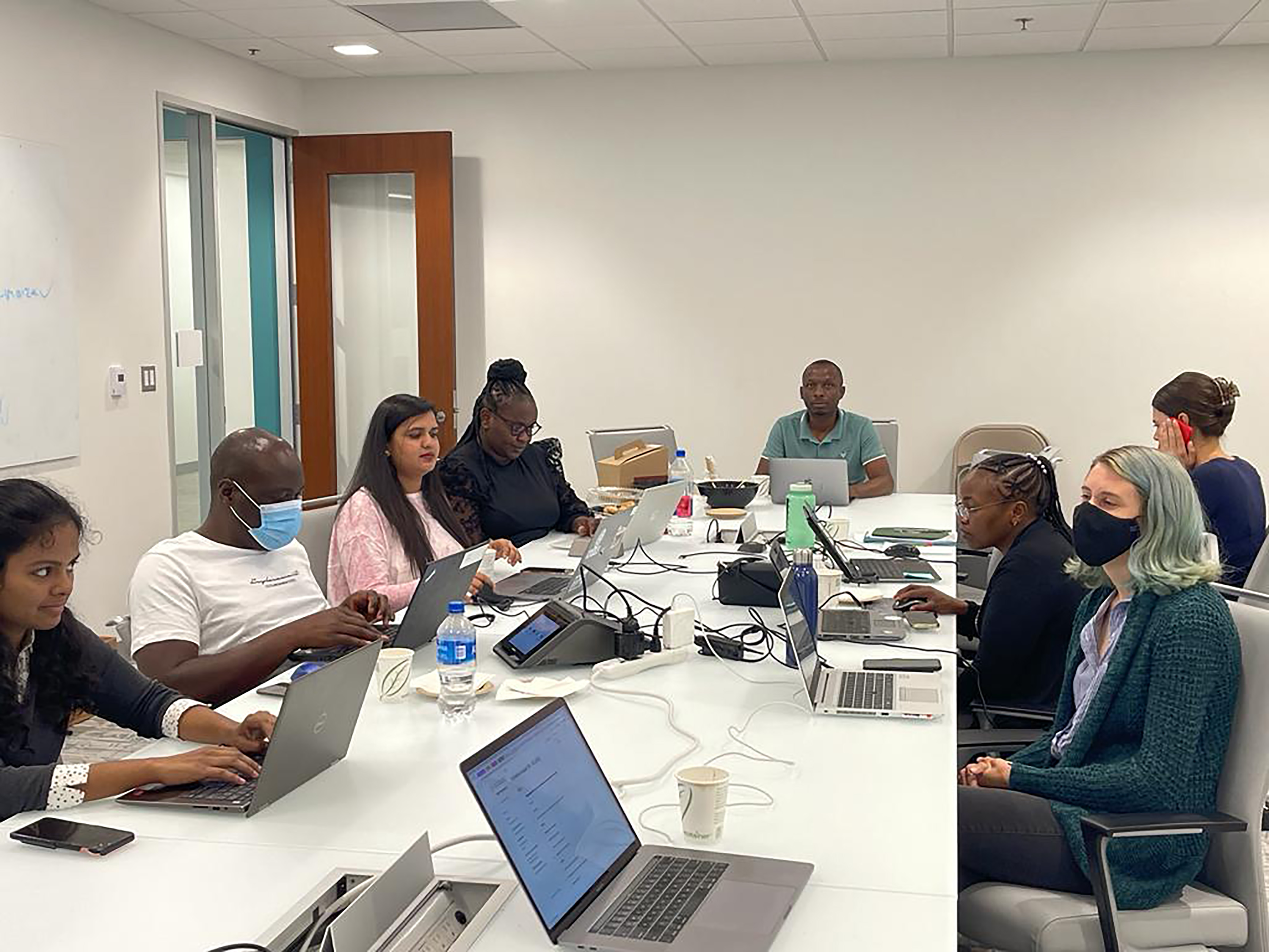
The first part of the workshop, Scalable Cropland Mapping, was a deep dive into scalable cropland mapping with deep learning deploying a recently developed OpenMapFlow workflow and covered fundamental topics in machine learning, satellite time series data, labeling, and scalable systems. At the end of the training, participants could generate their projects for cropland mapping with deep learning.
The second part focused on crop yield estimation using remotely sensed data and covered topics including an Introduction to Crop Condition Analysis, utilizing data in the Global Agriculture Monitoring System (GLAM), and basic crop yield forecasting. Participants could perform crop condition analysis and estimate yield for multiple countries, including Kenya, Malawi, Rwanda, Zambia, and the United Republic of Tanzania.
Published on Wed, 10/05/2022 - 16:24