
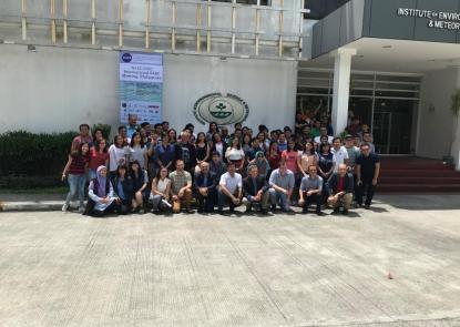
Faculty members attend the SARI Land Use Meeting in the Philippines (Full Story & Photos)
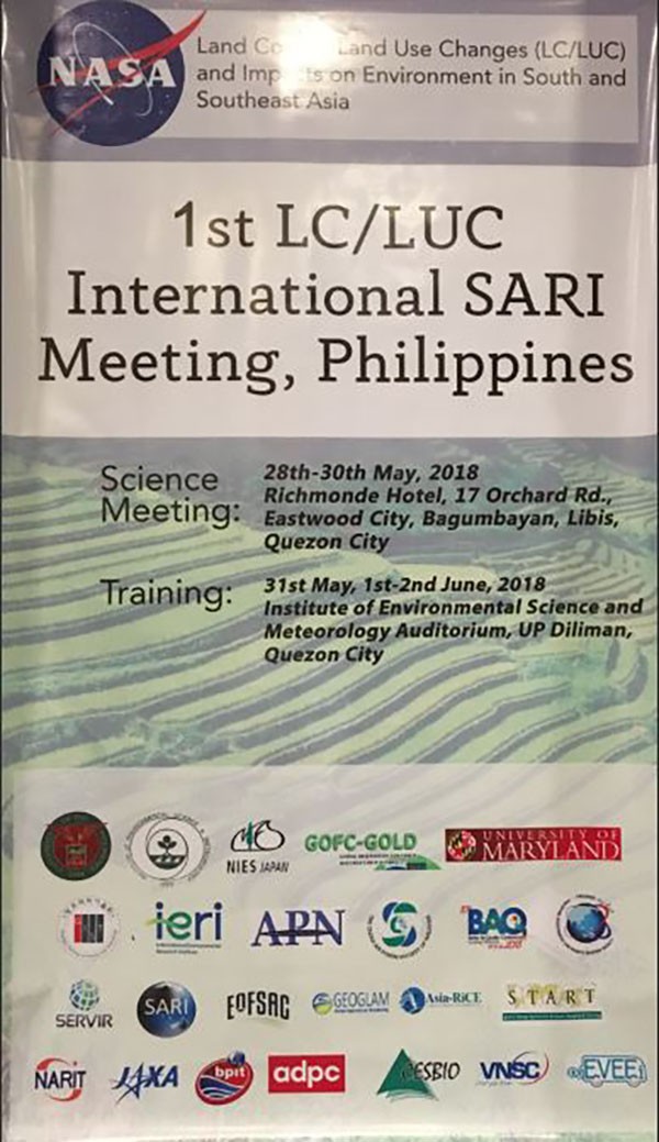
 Countries in South/Southeast Asia have the highest population growth rates worldwide and account for more than 25% of the global population. This population growth together with rapid economic development is leading to the conversion of forested areas to agriculture and agricultural areas to residential and urban uses, with significant impact on the environment. Increased land-cover and land-use changes (LC/LUC) in the region are impacting forest resources, biodiversity, regional climate, biogeochemical cycles, water resources, and other ecosystem services. To address these issues in the framework of NASA’s Land Cover/Land Use Change (LCLUC) Program-funded South/Southeast Asia Research Initiative (SARI), an international science meeting was held in Quezon city, Metro Manila, the Philippines, May 28-30, 2018.
The event was organized by SARI Lead Dr. Krishna Vadrevu (NASA MSFC), Dr. Garik Gutman (NASA HQ), and Prof. Chris Justice (University of Maryland College Park) with the help of several other meeting organizing committee members. The Institute of Environmental Science and Meteorology (IESM), University of Philippines, Diliman, hosted the meeting. The event was sponsored by NASA, Japan Aerospace Exploration Agency (JAXA), National Institute for Environmental Science (NIES, Japan), University of Illinois Urbana Champaign (USA), START Inc. (Washington D.C.), and supported by 18 other local and international organizations.
 The goal of the meeting was to review the availability, potential, and limitations of different satellite data sources and methodologies for land-use mapping, quantification, monitoring, and environmental impacts in South/Southeast Asia. Dr. Garik Gutman (NASA HQ) delivered an introductory lecture on the potential of remote sensing in the region and the recent achievements of the projects in South/Southeast Asia in the NASA LCLUC Program. He also chaired the LC/LUC urban thematic session. Further, Dr. Gutman provided overall direction and insights on how to improve SARI in the coming years.
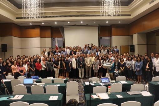
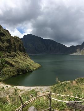
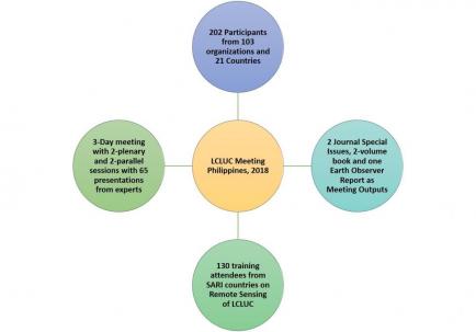 In total, 202 participants from 21 different countries from Asia, Europe, and the U.S. attended the meeting. Scientists from 5 different space agencies in the region also attended, including JAXA, the Space Technology Institute of Vietnam and Vietnam National Space Center (VNSC), the Indian Space Research Organization (ISRO), the Geo-Informatics and Space Technology Development Agency (GISTDA) of Thailand and the National Institute of Aeronautics and Space within the Indonesian government space agency (LAPAN). Representatives from several international programs including the Global Observation of Forest and Land Cover Dynamics (GOFC–GOLD) and Group on Earth Observations’ (GEO) Global Agricultural Monitoring (GEOGLAM), ASIA-Rice, NASA SERVIR, etc. also participated. In total, 103 organizations were represented during the meeting. The local hosts also organized a two-day field visit prior to the meeting that gave meeting participants an opportunity to observe local LC/LUC around the area, which used to be Mount Pinatubo – a volcano that erupted in June 1991.
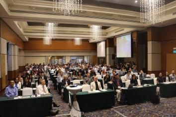
Day-1 and Day-3 during the meeting included plenary sessions with Agriculture, Atmosphere, Forests, Land and Urban themes, whereas Day-2 included full day parallel sessions on Agriculture and the Atmospheric themes. A total of 64 scientific presentations were delivered by experts during the meeting. The overview presentations described research accomplishments and the current state of scientific information on the above topics. The meeting also included 25 poster presentations.
After the meeting, 130 early-career scientists and students from the SARI countries participated in a three-day, hands-on training, focused on the use of remote sensing and geospatial technologies for LCLUC applications. Specific topics included, Introduction to Remote Sensing by Prof. Randolph Wynne (Virginia Tech), Multi-temporal analysis of satellite images (Prof. Emilio Chuvieco, Univ. of Alcala, Spain), modeling of LC/LUC (Prof. Atul Jain, Univ. of Illinois at Urbana, Champaign), Forest disturbance mapping (Prof. Chengquan Huang, Univ. of Maryland), SAR remote sensing data and applications (Dr. Thuy Le Toan, CESBIO, France), Machine learning tools (Dr. Kristofer Lasko, Univ. of Maryland), and Cloud computing using the Google Earth Engine by Dr. Ate Poortinga (NASA SERVIR, Mekong).
The SARI meeting in the Philippines served as a forum for the exchange of ideas and information across a diverse range of SARI researchers. Regional researchers emphasized the need to continue this series of meeting and training activities for the benefit of the LCLUC community not only to enhance regional science but also to address policy-relevant LC/LUC issues in the region.
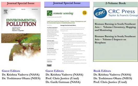
Meeting Outputs:
4-different outputs are planned: Summary of the meeting will be published in the NASA Earth Observer in the next couple of months, 2 special journal issues and a book.
Published on Thu, 06/07/2018 - 10:59