
The Arctic’s Blind Spot: Why Satellites Struggle Where Ice Meets the Coast
In a new post for the European Geosciences Union (EGU) Cryospheric Sciences Blog, Ph.D. student Monojit Saha explores a persistent challenge in Arctic remote sensing: the difficulty of measuring sea ice conditions near coastlines.
The first time I stood on sea ice, I could not tell which direction the coast was. A community member named Bryan could. That gap in situational awareness, between what a trained remote sensing scientist could read from the landscape and what a local hunter understood instinctively, turned out to mirror almost exactly the gap in our satellite data: ICESat-2 produces reliable freeboard across the central Arctic but goes systematically blind within 25 km of every coastline. This post traces that coastal data gap from its algorithmic roots through its ecological and human consequences, and asks what it would mean to build satellite products that close it on the terms of the communities who need them most.
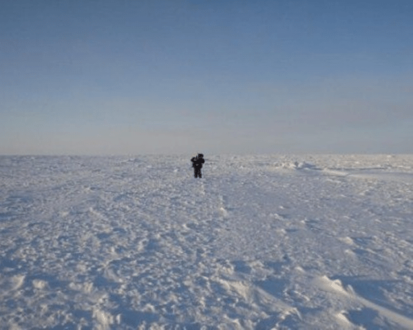
I grew up in Bangladesh, a country defined by delta and monsoon, emphatically not by ice. So when I stepped onto the frozen surface of Hudson Bay near Churchill, Manitoba in December 2021, on my first Arctic field campaign, I was meeting sea ice for the first time outside of a textbook (Figure 1).
I didn’t really understand what it meant to travel over sea ice until I was on the back of a skidoo driven by a community member named Bryan. It was early in the freeze up season, what locals sometimes call the “free up” season, in acknowledgement of how volatile the margins can be. At one point, standing on the ice, I could not tell which direction the coast lay. Bryan simply followed the faint lines left by other skidoos, navigational knowledge encoded in the landscape itself, invisible to me but perfectly legible to him. A short while later, hunters returning from the landfast ice edge warned us we were closer to it than we had realised. Almost on cue, a crack began to open in the surface nearby. Bryan turned us around.
In that moment, the abstract vocabulary of my remote sensing work, freeboard, sea surface reference, landfast ice extent, collapsed into something urgent. Bryan needed to know how thick that ice was. The hunters needed to know whether the edge was stable. These are not research questions. They are safety questions.
Satellites That Couldn’t See Near the Coast
The campaign was meant to be a satellite validation exercise: coincident snow depth and ice thickness measurements supporting ICESat-2 and CryoSat-2 freeboard retrievals during my MSc at the University of Manitoba (freeboard is the part of the sea ice above the waterline). ...
Image by Julienne Stroeve: Monojit Saha's first time on sea ice. Churchill, Manitoba
Published on Fri, 06/12/2026 - 12:33