
GEOG Seminar 2/16: "SAR Remote Sensing for Ecosystems and Agriculture: A background with new developments and trends" by Dr. Paul Siqueira
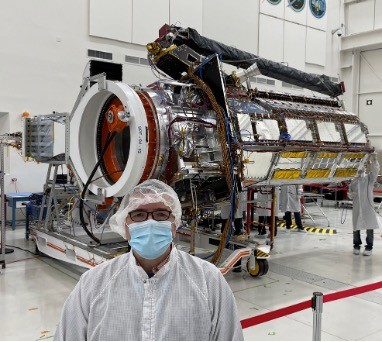
Professor Siqueira is the Ecosystems Science Lead for NISAR, a joint NASA/ISRO L- and S-band SAR mission due to be launched in January 2024. He is also the PI for Snow Water Equivalent Wide-swath Interferometer and scatterometer (known as SNOWWI) which is an airborne instrument and satellite constellation concept that is being developed for NASA-ESTO’s Instrument Incubator Program. Professor Siqueira also serves as a co-investigator in NASA’s Carbon Monitoring Systems (CMS) and Arctic-Boreal Vulnerability Experiment (ABoVE) programs.
Because of the ability of SAR to penetrate through cloud cover and to operate in both day- and night-time, its wall-to-wall mapping within its 250km swath at ~20 m resolution, the downlink data rate will be ~4.5 TBytes/day. As such, this amount of remote sensing data will present new challenges and opportunities to the Earth Science community. Some of these challenges will be related to how to effectively make use of this much data that will be incoming at a consistent pace over the lifetime of the mission. This will place a new emphasis on deploying algorithms into the cloud and developing algorithms that can make use of this new era of “big data”. The benefits will be that NISAR will be producing an unprecedented data set, both in terms of its temporal and global coverage. This will create new opportunities for creating algorithms that make best use of this time-series of data, and in many ways will change the way that SAR algorithms will be written. Such is the case already with ESA’s Sentinel-1 C-band satellites, and will evolve to the next stage with NISAR.
Zoom Meeting: Please email pbasak@umd.edu for Zoom meeting information.
When:
to:
Where:
Hybrid Seminar | 4600 River Road, Room 325 | Zoom