GEOG Seminar 10/5: Sergii Skakun, "Detection and Mapping of Artillery Craters With Very High Spatial Resolution Satellite Imagery and Deep Learning"
Join us for our weekly seminar this Thursday, Oct. 5 from 3:45-5pm at River Road and via Zoom! GEOG Associate Professor Sergii Skakun will discuss the use of advanced satellite imaging and deep learning to automatically detect and map artillery craters in eastern Ukraine, revealing their far-reaching impacts.
Unexploded munitions from global conflicts have profound and widereaching impacts on economies, health, and the environment. Recent advancements in very high spatial resolution (VHR) satellite multispectral imaging enable the detection of individual heavy weapon impact craters. However, manual identification and delineation of these craters in satellite imagery are resource-intensive. Dr. Skakun's study focuses on automatic image processing and deep learning techniques applied to the identification and mapping of artillery craters in the agricultural fields of eastern Ukraine during the 2014 conflict and 2022 Russian full-scale invasion. He will delve into the following topics in our seminar:
- VHR acquisitions within NASA CSDA and pre-processing.
- Utilizing Deep Learning for Crater Detection and Mapping.
- Comprehensive Validation of the Generated Products.
About the Speaker:
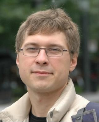
Dr. Sergii Skakun, with vast research experience supported by organizations like NASA and NSF, specializes in Earth System Science applications and societal benefits. His recent work includes mapping artillery craters, studying land cover changes, and advancing deep learning techniques.
Zoom Info: Please reach out to kychai@umd.edu, geojsy@umd.edu or ruichenw@umd.edu for Zoom meeting information or visit the Department Calendar.


