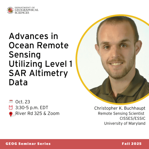
GEOG Seminar 10/23: Christopher K. Buchhaupt, "Advances in Ocean Remote Sensing ...”
Join us at 3:30 p.m. on Thursday, Oct. 23 for this seminar at River Road and via Zoom with Christopher K. Buchhaupt.
Remote sensing scientist at CISESS/UMD Christopher K. Buchhaupt will discuss "Advances in Ocean Remote Sensing due to SAR Altimetry Level-2 Algorithm Developments.”
Speaker Bio
Buchhaupt received his Ph.D. in physical and satellite geodesy from Technische Universität Darmstadt in 2019. After graduation, he became a Postdoctoral Associate at the APMG group at the University of Bonn where he worked with the radar altimetry group. In October 2019 he joined CISSES/ESSIC, where he supports the NOAA Laboratory for Satellite Altimetry, College Park, Maryland, focusing on SAR altimetry over sea ice and highly dynamic ocean surfaces.
Seminar Description
First enabled by CryoSat-2 in 2010, Synthetic Aperture Radar (SAR) altimetry represents a major advancement in ocean remote sensing, providing unprecedented accuracy and resolution in monitoring significant wave height (SWH) and sea surface height. Unlike traditional pulse-limited altimetry, SAR altimetry employs a smaller along-track footprint, allowing precise detection of fine-scale spatial and temporal variations in sea state. This capability is particularly valuable in regions with complex wave behavior, such as coastal zones and high-energy oceanic environments. By offering consistent, global measurements, SAR altimetry enhances our understanding of wave generation, propagation, and interactions with winds and currents. These insights are essential for improving wave climate models, enhancing weather and ocean forecasting, and assessing the impacts of waves on coastal and offshore environments.
This presentation will provide an overview of the observational capabilities of unfocused SAR altimetry for sea-level and sea-state retrievals and discuss how additional waveform parameters influence the estimation of SWH and sea surface height in current state-of-the-art processing baselines. In addition, a brief overview of ongoing developments extending these methods to sea-ice-covered regions will be presented, highlighting recent findings and challenges related to signal interpretation over snow-covered sea-ice surfaces.
For Zoom details, please visit the GEOG Department Calendar.


