
CGIS Hosts Workhop on Data Integration and Spatial Analysis
The Center for Geospatial Information Science (CGIS) is hosting the Applied Spatial Data Science Workshop Series, providing social science and interdisciplinary researchers with hands-on training in spatial analysis.
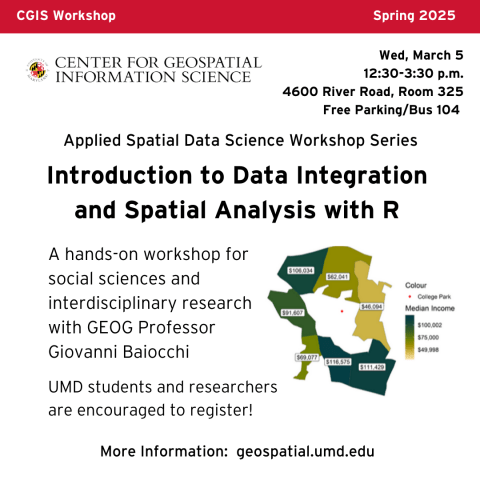
Professor Giovanni Baiocchi will lead the first seminar this season: "Introduction to Data Integration and Spatial Analysis With R" at 12:30 p.m. on Wednesday, March 5. The workshop will bridges theory with real-world applications, offering participants valuable experience in working with spatial data using R.
Workshop Highlights:
- Introduction to R and Data Structures – Setting up R, understanding data frames.
- Data Management with Tidyverse – Importing, cleaning, and transforming data.
- Spatial Data in the Extended Tidyverse – Working with vector data (Shapefiles), spatial operations, and data visualization.
- Analyzing Raster Data – Understanding and manipulating raster datasets.
- Working with Census and Other Data – Importing and processing real-world datasets, including US Census data.
- Exploring Spatial Relationships – Analyzing spatial dependencies, autocorrelation, and spatial clusters.
- Hands-On Practice – Merging datasets, visualizing spatial data, and analyzing spatial patterns.
Preparation Instructions
Participants must have R, RStudio and required packages installed on their laptops before the workshop. To prepare:
- Download and install the latest versions of R and RStudio.
- Open RStudio
- In RStudio, run this command to install necessary packages: install.packages(c("tidyverse", "sf", "tmap", "terra", "readr", "sp", "dplyr", "tidycensus", "tigris"))
Gain hands-on experience with essential spatial data analysis techniques for social science research. Join us for this interactive workshop!
Questions? Please contact Professor Baiocchi at baiocchi@umd.edu.
When:
to:
Where:
River Road, Room 325 (Free Parking Available or Take Bus 104)
Speakers:
Professor Giovanni Baiocchi, Department of Geographical Sciences