
Global Experts Urge Use of Satellite Data to Guide Climate Adaptation
GEOG Professor and Department Chair joins an international team of scientists in outlining how Earth Observation can help countries adapt to impacts of climate change
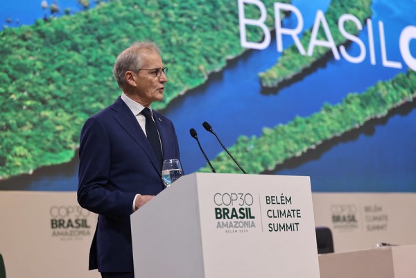
As world leaders gather in Belém, Brazil, for the 30th United Nations Climate Change Conference of the Parties (COP30), a new perspective paper co-authored by Department of Geographical Sciences Professor and Chair Tatiana Loboda provides a framework for tracking progress toward the Paris Agreement’s Global Goal on Adaptation, which aims to help countries adapt to the impacts of climate change.
The paper, published in npj Climate and Atmospheric Science, is the result of a June 2024 forum hosted by the International Space Science Institute (ISSS), at which experts from diverse disciplines discussed how satellite data can guide smarter adaptation strategies.
Unlike other frameworks that focus mainly on hazard monitoring or climate observation, the framework Loboda and her co-authors propose explicitly links Earth Observation data to all stages of climate adaptation: assessing risks, identifying vulnerable populations, designing interventions, implementing actions and monitoring outcomes.

“We hope this approach will provide the necessary framework to create effective strategies for climate adaptation,” said Loboda. “It has the potential to be an influential tool for agencies shaping climate policy, in that it enables policymakers and scientists to understand climate impacts and determine which strategies most effectively reduce risks and vulnerabilities.”
In the paper, the authors also underscore the importance of open and accessible satellite data. They write that when Earth Observation information is widely shared, agencies, communities and researchers can apply these insights directly into real-world adaptation efforts, improving responsiveness at local, national and global scales.
The authors also note that satellites, for example, can track crop suitability and water availability for agriculture, monitor forest health and mangrove coverage for biodiversity and map urban heat islands and flood-prone areas for public safety. They say that these observations support several Sustainable Development Goals including SDG 2 (Zero Hunger), SDG 11 (Sustainable Cities and Communities), and SDG 15 (Life on Land). Earth Observation data can also inform adaptation for extreme events such as droughts, hurricanes and heatwaves, and public health challenges, such as heat stress, air pollution or vector-borne diseases.
Beyond monitoring past and present conditions, the authors’ proposed framework also leverages emerging tools like Digital Twin Earth systems, which simulate “what if” scenarios to forecast potential outcomes to adaptation strategies.
“This approach helps decision-makers anticipate future climate risks and plan accordingly, a step beyond traditional observation monitoring,” Loboda said. “With COP31 in sight, these recommendations provide scientists and policymakers with actionable guidance to plan climate adaptation strategies worldwide.”
Read the Full Paper
Sarah, C., Rochelle, S., Johanna, N. et al. Earth observations for climate adaptation: tracking progress towards the Global Goal on Adaptation through satellite-derived indicators. npj Clim Atmos Sci 8, 359 (2025). https://doi.org/10.1038/s41612-025-01251-1
Main image: Norway's Prime Minister Jonas Gahr Støre addresses a high-level meeting in COP30 in Belém, Brazil, by Statsministerens kontor, CC BY-NC 4.0 via flickr.
Published on Fri, 11/14/2025 - 15:27